On the Labour Day weekend, a group of us enjoying our seasonal place on the shore of Long Point Bay near Port Rowan, Ontario, decided to do what we had talked about doing for many, many years of visiting this area of Ontario.
We had travelled out to Long Point to the provincial park for swimming and beach walks many times over many summers but the provincial park sits only a short distance out along this very large point that juts into Lake Erie.
Long Point is the worlds largest freshwater sand spit, is approximately 4000 years old and stretches 42km into Lake Erie. It's designated a World Biosphere site by UNESCO, one of only a few in all of Canada. The village of Long Point at the base of the point has about 500 year round residents but the population jumps to 5000 in the summer. The beaches on the southern side of the point are some of the best in Ontario!
To the north of Long Point is the Inner and Outer Bay which is relatively shallow with ever-changing sand bars. South of the point is Lake Erie with some of the deepest locations of the lake especially at the tip of the point and at times very extreme weather. Due to the ever shifting point and sand bars and the storms, over hundreds of years, there has been many, many ship wrecks around the point. In fact there are more than 400 ship wrecks and the area is sometimes called the Lake Erie Quadrangle.
The point is primarily made up of a nationally owned Wildlife Preserve and a large area privately owned by the Long Point Company. The Long Point Company was formed in the 1860's and was made up of wealthy businessmen and sportsmen who purchased a large portion of the point for $8540. This land has been preserved by the Company and used for hunting and fishing. It remains to this day a very private and highly secure area with public access denied. Googling the Long Point Company says that there are about 20 members of the Company today all of whom are very wealthy, keep a very low profile and from all over North America.
We had talked about going out to the tip of Long Point for many years and we finally decided to do it.
We arranged the trip through a Turkey Point company called Long Point Tours. You can see more information at www.longpointtours.com The owner and operator of the company and the zodiac is Garrett Reid.
We met there early on the Sunday, with the weather looking a bit iffy and suited up in full rain gear for the zodiac trip out to the point.
The zodiac trip was a fast and wet ride across the bay from Turkey Point to Long Point. We first stopped around Pottahawk Island and Point. Each year, for the past 30 years, on the 2nd Sunday of July, Pottahawk Point/Island is home to one of the largest boat based parties in North America. The area along the point is very shallow and full of sand bars so boats pull up and people party on the boats and in the water. This event regularly draws 2000 boats and up to 10,000 people.
After various stops out along the north shore of the point at places like Bluff Bar and Gravelly Bay, we finally reached the tip of the point and got off onto the shore. We were given about 45-60 minutes to explore along to the actual tip and visit the large and beautiful light house. The lighthouse is automated although the area is frequented often by Wildlife Preserve and National Bird Observatory staff.
After our visit on shore, we boarded the zodiac and travelled back to Turkey Point.
Here are some pictures from around the tip of Long Point.
Lighthouse keeper's cabin.
The tip of Long Point, 42km out into Lake Erie. Notice the crashing waves at the tip as the waves from the Inner/Outer Bay meet the waves of Lake Erie.
A "ghost" lake freighter plying Lake Erie.
The south shore of the point, facing angry Lake Erie.
Various lighthouse shots!
The lighthouse as we pulled away from shore.
Thanks to Garrett for a wonderful day.
What an experience to finally travel to and get to stand on this point 42km out into Lake Erie - something not a lot of people get to experience!
Hike 25 was a 2 day hike with another stay at the Farmer's Walk B&B. The weather was beautiful - very fall like.
I started my first day of hiking at the 56.9km mark at 3rd Line. Heading east of 3rd Line the trail entered Hockley Valley Resort, specifically up the edge of the south side of the valley at the top of the ski hills.
The trail headed west of the ski hills and down through and around the Hockley Valley Golf course and then along some fields eventually coming out onto 2nd Line. The trail then followed 2nd Line north where it crossed the headwaters of the Nottawasaga River and met with Hockley Road. Here are some pictures from this section.
The sweet smell of fresh cut hay and a puffball!
The trail picked up on the north side of Hockley Road and, at the 60.9km mark, became the "Bruce Trail Jeju Olle Friendship Trail" for the next 4km.
Jeju is an island off the south coast of South Korea. "Olle" is Korean for " a narrow pathway that is connected from the street to the front gate of a house". A series of trail sections have been set up around the perimeter of the island creating over 420km of trails. In 2011, the Bruce Trail Conservancy twinned this section in Hockley Valley with Route 2 of the Jeju Olle trail. Much of the trails in this section traverse the Hockley Valley Nature preserve, a 380 hectare day use park. Here are some pictures from this section.
Not sure how this got back into the woods - obviously many years ago given the age of the car!
A beautiful spot for lunch!
At about the 67km mark the trail traversed open meadows with incredible views south towards Hockley Valley and the resort where I started the day's hike. At one point there was a wood bench with some very profound verses.
The trail came out onto and followed Dunby Road east to 3rd Line and then followed 3rd Line north. 3rd Line through this area is very beautiful.
The trail crossed Highway 8 and entered the woods again where the Caledon section of the trail ends and the Dufferin section of the trail starts. Only 578km to go!!
Another kilometer and the trail came out at the village of Mono Center. Mono Center, Mono Mills and Mono Cliffs Park and Mono Township - the rumoured origin of the name "Mono" is that it was the name of Chief Tecumseh's daughter but there is dispute as to whether he had a daughter. Here is a shot of the Mono Center church.
I picked up my car in Mono Center and headed back to the B&B to clean up and then back up to have dinner again at the Mono Cliff's Inn - another very nice dinner.
Next day my B&B host Jock, followed me up to my finish point at the 15.2km mark at Highway 89 and Hurontario Road and then dropped me down to my start point in Mono Center. The trail climbed and followed the top of the escarpment through to about the 4km mark where there was a lookout platform that leveraged out over the edge of the escarpment with wonderful views.
Just past this there were metal stairs leading down the edge of the escarpment cliff to wooden platforms that allowed for close up looks at the cliff faces. As the displays stated, along these cliffs and other cliffs along the escarpment there are white cedar trees that cling to the rock face. Early belief was that the large cedar trees were the oldest trees but it was later discovered that the small cedar trees clinging to the cliff were 100's or 1000's of years old and in some cases 1500 years old!
The trail continued around McCarston's Lake, the only naturally occurring lake in Mono Township. It is a kettle lake which means it was formed when a glacier retreated and left a large buried chuck of ice which melted and formed the lake.
At the north end of the lake I took a side trail called the Lookout Trail. After about 1.5km the trail came out on the edge of the cliff looking south with very incredible views including, if you look closely, downtown Toronto and the CN Tower! Elevation at this point is over 550 meters above sea level.
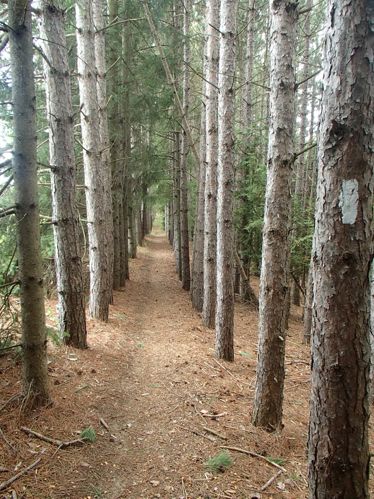
After picking up the Bruce trail again, the trail headed through woods and fields. In the woods I came across another area in the woods that I have now coined a "cathedral" moment - I have come across many of these same locations in my hikes to date. It's when the trail enters a hardwood area where you have little or no ground cover, tall 80-100 foot trees with high canopies with some sunlight filtering through - you really do feel like you are in some kind of very sacred place like a cathedral!
The trail then followed 1st Line north to and just beyond the 25 Sideroad.
The trail entered the woods and fields again at the 10.0km mark. The trail, through to the 15.2km mark at the 30 Sideroad, followed mostly farmers fields with very scenic views out to the east and the north. Here are some pictures from this section.
The trail followed 30 Sideroad west and then Hurontario Road north to Highway 89 where I left my car.
Completed: 337.2km