I started my first day of hiking at the 56.9km mark at 3rd Line. Heading east of 3rd Line the trail entered Hockley Valley Resort, specifically up the edge of the south side of the valley at the top of the ski hills.


The trail headed west of the ski hills and down through and around the Hockley Valley Golf course and then along some fields eventually coming out onto 2nd Line. The trail then followed 2nd Line north where it crossed the headwaters of the Nottawasaga River and met with Hockley Road. Here are some pictures from this section.


The sweet smell of fresh cut hay and a puffball!


The trail picked up on the north side of Hockley Road and, at the 60.9km mark, became the "Bruce Trail Jeju Olle Friendship Trail" for the next 4km.

Jeju is an island off the south coast of South Korea. "Olle" is Korean for " a narrow pathway that is connected from the street to the front gate of a house". A series of trail sections have been set up around the perimeter of the island creating over 420km of trails. In 2011, the Bruce Trail Conservancy twinned this section in Hockley Valley with Route 2 of the Jeju Olle trail. Much of the trails in this section traverse the Hockley Valley Nature preserve, a 380 hectare day use park. Here are some pictures from this section.


Not sure how this got back into the woods - obviously many years ago given the age of the car!

A beautiful spot for lunch!


At about the 67km mark the trail traversed open meadows with incredible views south towards Hockley Valley and the resort where I started the day's hike. At one point there was a wood bench with some very profound verses.


The trail came out onto and followed Dunby Road east to 3rd Line and then followed 3rd Line north. 3rd Line through this area is very beautiful.


The trail crossed Highway 8 and entered the woods again where the Caledon section of the trail ends and the Dufferin section of the trail starts. Only 578km to go!!


Another kilometer and the trail came out at the village of Mono Center. Mono Center, Mono Mills and Mono Cliffs Park and Mono Township - the rumoured origin of the name "Mono" is that it was the name of Chief Tecumseh's daughter but there is dispute as to whether he had a daughter. Here is a shot of the Mono Center church.

I picked up my car in Mono Center and headed back to the B&B to clean up and then back up to have dinner again at the Mono Cliff's Inn - another very nice dinner.
Next day my B&B host Jock, followed me up to my finish point at the 15.2km mark at Highway 89 and Hurontario Road and then dropped me down to my start point in Mono Center. The trail climbed and followed the top of the escarpment through to about the 4km mark where there was a lookout platform that leveraged out over the edge of the escarpment with wonderful views.


Just past this there were metal stairs leading down the edge of the escarpment cliff to wooden platforms that allowed for close up looks at the cliff faces. As the displays stated, along these cliffs and other cliffs along the escarpment there are white cedar trees that cling to the rock face. Early belief was that the large cedar trees were the oldest trees but it was later discovered that the small cedar trees clinging to the cliff were 100's or 1000's of years old and in some cases 1500 years old!


The trail continued around McCarston's Lake, the only naturally occurring lake in Mono Township. It is a kettle lake which means it was formed when a glacier retreated and left a large buried chuck of ice which melted and formed the lake.

At the north end of the lake I took a side trail called the Lookout Trail. After about 1.5km the trail came out on the edge of the cliff looking south with very incredible views including, if you look closely, downtown Toronto and the CN Tower! Elevation at this point is over 550 meters above sea level.


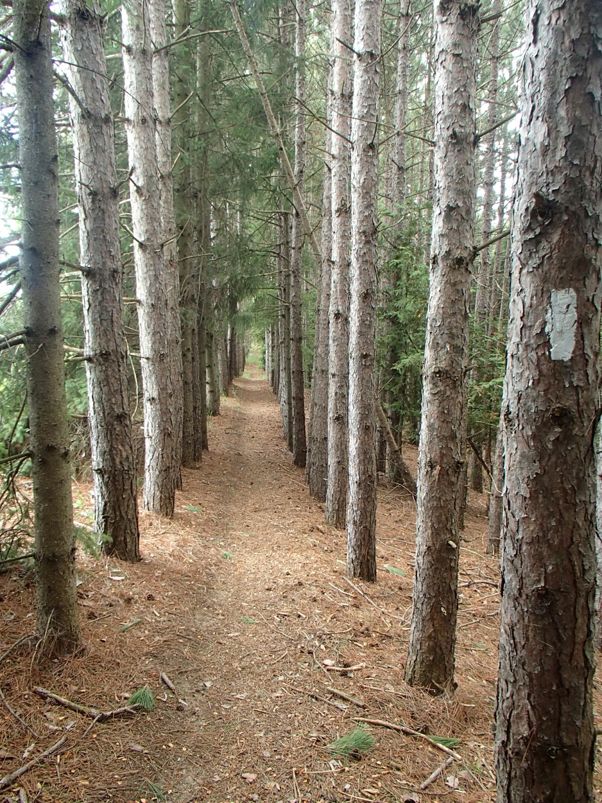
After picking up the Bruce trail again, the trail headed through woods and fields. In the woods I came across another area in the woods that I have now coined a "cathedral" moment - I have come across many of these same locations in my hikes to date. It's when the trail enters a hardwood area where you have little or no ground cover, tall 80-100 foot trees with high canopies with some sunlight filtering through - you really do feel like you are in some kind of very sacred place like a cathedral!

The trail then followed 1st Line north to and just beyond the 25 Sideroad.


The trail entered the woods and fields again at the 10.0km mark. The trail, through to the 15.2km mark at the 30 Sideroad, followed mostly farmers fields with very scenic views out to the east and the north. Here are some pictures from this section.


The trail followed 30 Sideroad west and then Hurontario Road north to Highway 89 where I left my car.
Completed: 337.2km
No comments:
Post a Comment