Headed out Sunday, April 27 with my younger son to hike the next section of the Bruce Trail.
We started at the Kilbride Public School at the 98.8km mark and headed north from the school into the woods. Came across a fast flowing stream and a snow drift!!
This wouldn't be the last time we saw snow and ice this day.
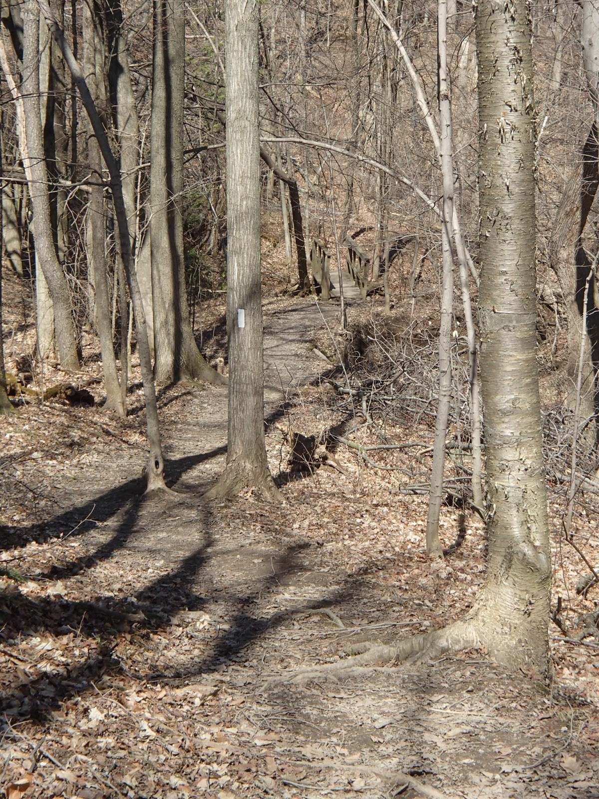
The trail crossed Derry Road and headed north through some beautiful woods in the Yaremko-Ridley Park.
At the 102.5km mark we came across some large ponds. The Bruce Trail maps referred to these as the historical Calcium Pits. We saw a beaver or muskrat swimming through one of the ponds.
After I got home I tried to find some information on these Calcium Pits - not much to find other than someone else's blog that mentions that the high calcium content of the soil and silt (called marl) attracted a company in the early 1900's who dug the calcium rich mud from this area to use for a "bug spray". The pits filled with water resulting in the ponds we see today.
After crossing Twiss Road, the trail headed back into the woods and climbed the escarpment through some picturesque rocky areas where there was still ice and snow in the rock crevices.
Lots of spring flowers sprouting up as we hiked.
After crossing Guelph Line we entered Crawford Lake Conservation Area. Crawford Lake is a Meromictic Lake. This type of glacial lake is deeper than the surface area and as such, the deepest parts of the lake remain undisturbed. Low oxygen levels at these depths mean that silt and sediment is preserved.
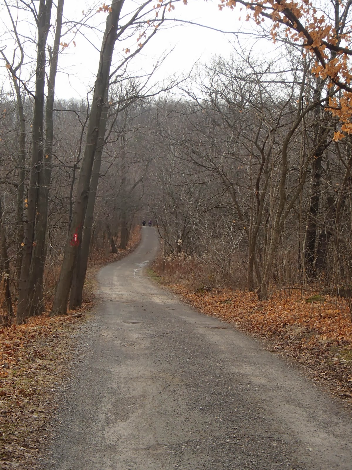
It was a nice trail through the conservation area including this tree where a woodpecker had been very busy.
We continued along the edge of the escarpment looking south towards Mount Nemo where we finished our last hike of 2013. Lots and lots of gliding turkey vultures!
We continued along the edge of the escarpment until we got to the Nassagaweya Canyon. This is a deep valley that was created by glacial run off and over the millenniums these streams carved out this "canyon". The valley actually cuts off part of the original escarpment from the main escarpment. This large separated area that includes Rattlesnake Point and Kelso is known as the Milton Outlier.
At the 108.7km mark of the trail we descended to the valley floor, hiked along the valley and then climbed back up the eastern slope of the valley onto the Milton Outlier part of the escarpment.
Once on top of the escarpment we headed east for 1km to hit our rendezvous point at Appleby Line and Steeles Avenue.
My wife picked us up a this point and drove us back to our starting point to pick the car.
Another wonderful day of hiking!
Completed: 192.8km
Sunday, April 20 my older son joined me on my first Bruce Trail section hike for 2014.
It was a nice sunny day but coolish.
We left the Mount Nemo Conservation parking lot at the 91.7km mark and headed west along the south side of Colling Road. The trail followed along the edge of the Nelson Quarry.
This aggregate quarry was started in 1953 and today encompasses about 180 hectares of quarry, about 125 hectares of which has started to be rehabilitated. Aggregate is still quarried today. More recent applications to enlarge the quarry have been turned down.
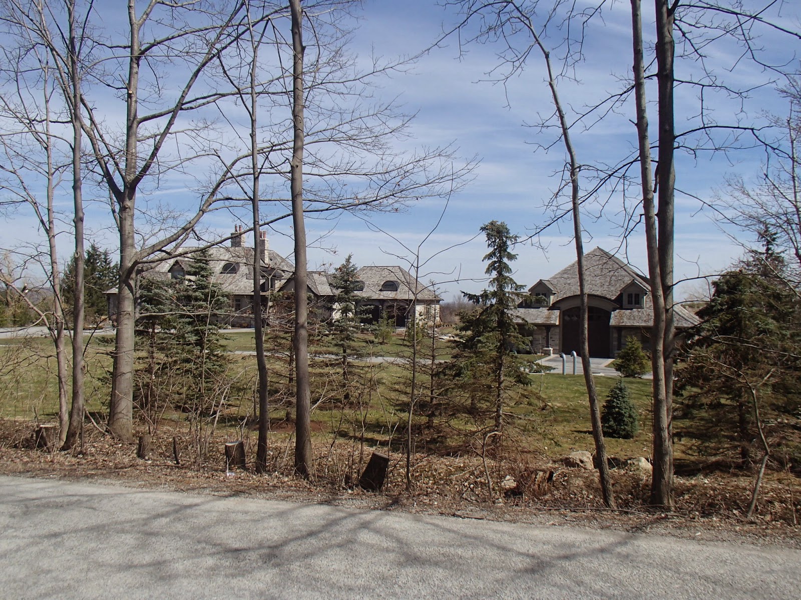
After 2km we headed north along the west side of Blind Line. Some beautiful old farms along with this nice place!
At the 95.5km mark we left Blind Line and headed along a old road allowance descending down into Bronte Creek valley.
We crossed Bronte Creek on a steel bridge at the 96.3km mark. The river, given the heavy winter we have had, was flowing high and fast.
Just up river from this bridge is an interesting fixture in this area - the Cedar Springs Community Club. In 1932 William Dafos Flatt established the community based club on 345 acres on the escarpment around Bronte Creek. There are 80 or so private cottages within the community club along with a golf course, lake and beach and tennis.
Once across the river we traveled a section of trail on a boardwalk through some marshland before we start a fairly steep climb up the north side of valley.
At the 97.6km mark we hit No 8 Side road and head west along the road before turning north again and travelling along Panton Street in the village of Kilbride.
The Village of Kilbride has a population of approximately 600 people. It was first settled by Thomas Simpson in the late 1820's and is named after Kilbride in County Wicklow, Ireland.
The trail continues north along Panton Street in Kilbride to the Kilbride Public School where we had a parked our second car.
Not a long one but a great first hike of the season!
Completed: 178.8km
Each year Bruce Trail Conservancy has a Photo Contest. The winner of the contest gets to have their photo grace the cover of the summer issue of the Bruce Trail magazine - the 9 runner up pictures are inside the magazine. The contest always has a theme - this year it was "Water along the Bruce Trail".
I submitted the following photo for the contest:
I found out a week ago that this picture titled "Taking a Break" was chosen out of 150+ submissions as one of the top 10 pictures for the contest.
The winner is the picture that receives the most on-line votes, so I'm posting this blog update so that, if you are reading this, you should go to the following link and vote for my picture, again "Taking a Break".
http://brucetrail.org/pages/photo-contest/vote
The voting closes April 22, 2014.
If you vote - thanks!
Looking forward to getting all the leftovers of "winter" melted and dried up so I can get back on the trail for another season.
Hopefully the next trail blog is coming shortly.
I picked up where I left off on my Hike 13 at the corner of Side Road 1 and Walkers Line at the 84.9km mark on the trail. My two sons hiked with me. It was a cool and windy day.
We hiked north on Walkers Road a couple of kilometers passing an old cemetery.
The Salem Methodist Church was built on this site in 1860 and later moved in 1890 leaving the Salem Cemetery. Many very old grave stones, some in very poor condition.
The trail then headed west towards the escarpment and up a private lane.
The trail breaks from the lane and climbs the escarpment. The following pictures are from the climb up the escarpment including the final breach of the top via a ladder in a channel in the rock and the view from the top.
The trail continued along the edge of the escarpment in the Mount Nemo Conservation Area. The trail, for many kilometers skirted and crossed many cracks and crevasses in the escarpment rock - some very deep.
The views from the trail at the edge of the escarpment were beautiful but dangerous as there were no barriers from drops of 100 feet or more. Here are some of the views.
At one point on the trail we came across a memorial bench and sign for a person, Spring Choy, who earlier in 2013 apparently lost her balance at the edge of the escarpment and fell to her death. I remember hearing about this in the news.
We continued for a number of kilometers along the escarpment edge with many more deep cracks in the rock and wonderful vistas looking out over Halton County and towards Rattlesnake Point.
Before we left the edge of the escarpment we came across voices from below and found some rock climbers, climbing up from the bottom.
The trail turned inland from the escarpment edge and headed back towards the Mount Nemo Conservation Area parking lot at marker 91.7km on the trail.
We met up with my wife who picked us up.
Another wonderful day of hiking.
Completed: 171.7km