Sunday, April 20 my older son joined me on my first Bruce Trail section hike for 2014.
It was a nice sunny day but coolish.
We left the Mount Nemo Conservation parking lot at the 91.7km mark and headed west along the south side of Colling Road. The trail followed along the edge of the Nelson Quarry.
This aggregate quarry was started in 1953 and today encompasses about 180 hectares of quarry, about 125 hectares of which has started to be rehabilitated. Aggregate is still quarried today. More recent applications to enlarge the quarry have been turned down.
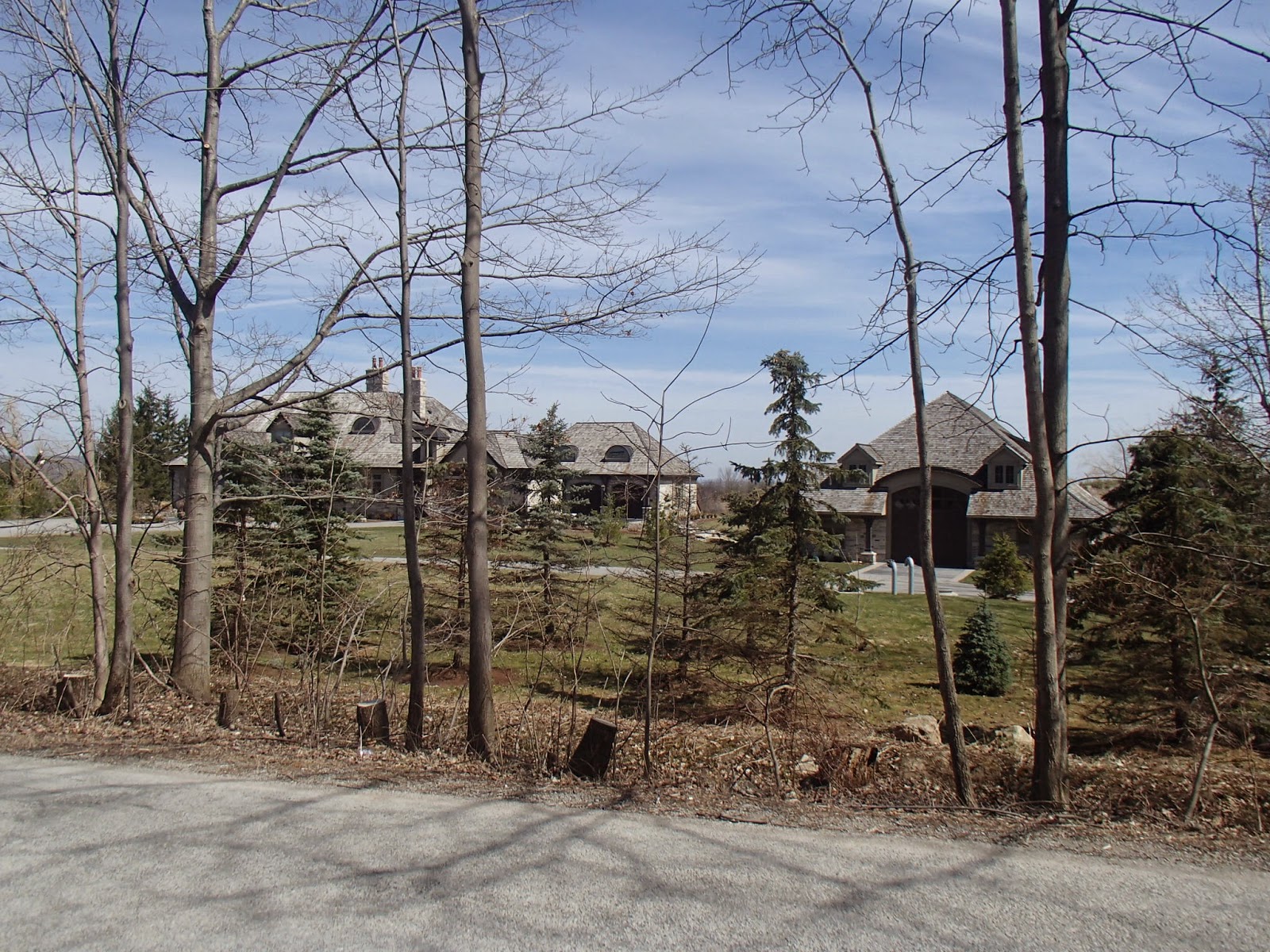
After 2km we headed north along the west side of Blind Line. Some beautiful old farms along with this nice place!
At the 95.5km mark we left Blind Line and headed along a old road allowance descending down into Bronte Creek valley.
We crossed Bronte Creek on a steel bridge at the 96.3km mark. The river, given the heavy winter we have had, was flowing high and fast.
Just up river from this bridge is an interesting fixture in this area - the Cedar Springs Community Club. In 1932 William Dafos Flatt established the community based club on 345 acres on the escarpment around Bronte Creek. There are 80 or so private cottages within the community club along with a golf course, lake and beach and tennis.
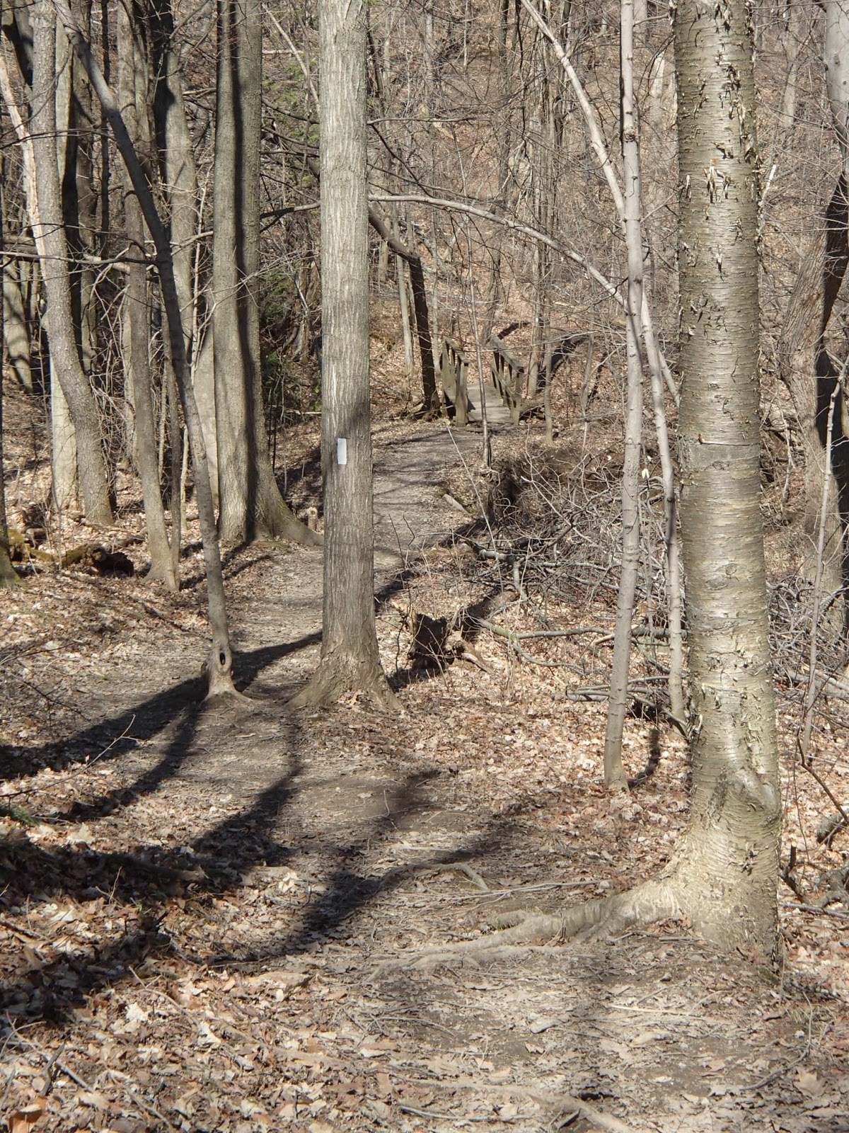
Once across the river we traveled a section of trail on a boardwalk through some marshland before we start a fairly steep climb up the north side of valley.
At the 97.6km mark we hit No 8 Side road and head west along the road before turning north again and travelling along Panton Street in the village of Kilbride.
The Village of Kilbride has a population of approximately 600 people. It was first settled by Thomas Simpson in the late 1820's and is named after Kilbride in County Wicklow, Ireland.
The trail continues north along Panton Street in Kilbride to the Kilbride Public School where we had a parked our second car.
Not a long one but a great first hike of the season!
Completed: 178.8km


No comments:
Post a Comment