Saturday, 17 September 2016

Sydney and Hope Bays - Hike 45

I packed and headed north for a 2 day hike and camp in early August - beautiful weather again!

I had arranged to meet the owner of the Hope Bay Campground, Len, in Hope Bay and he drove me down for the start of my hike on Coveney's Hill around the 21km mark of the Peninsula section. I was carrying my full camping pack, so a heavy haul at about 35lbs.

The trail headed northwest from Coveney's Hill through woods and escarpment before coming out on Crooked Toe Road (I love that name) around the 22.5km mark. Here I entered again the Chippewa's of Nawash First Nations territory - this time to stay for awhile. The area is referred to as Neyaashiinigmiing.

Here are some photos from this section.


I signed my name in the registry.


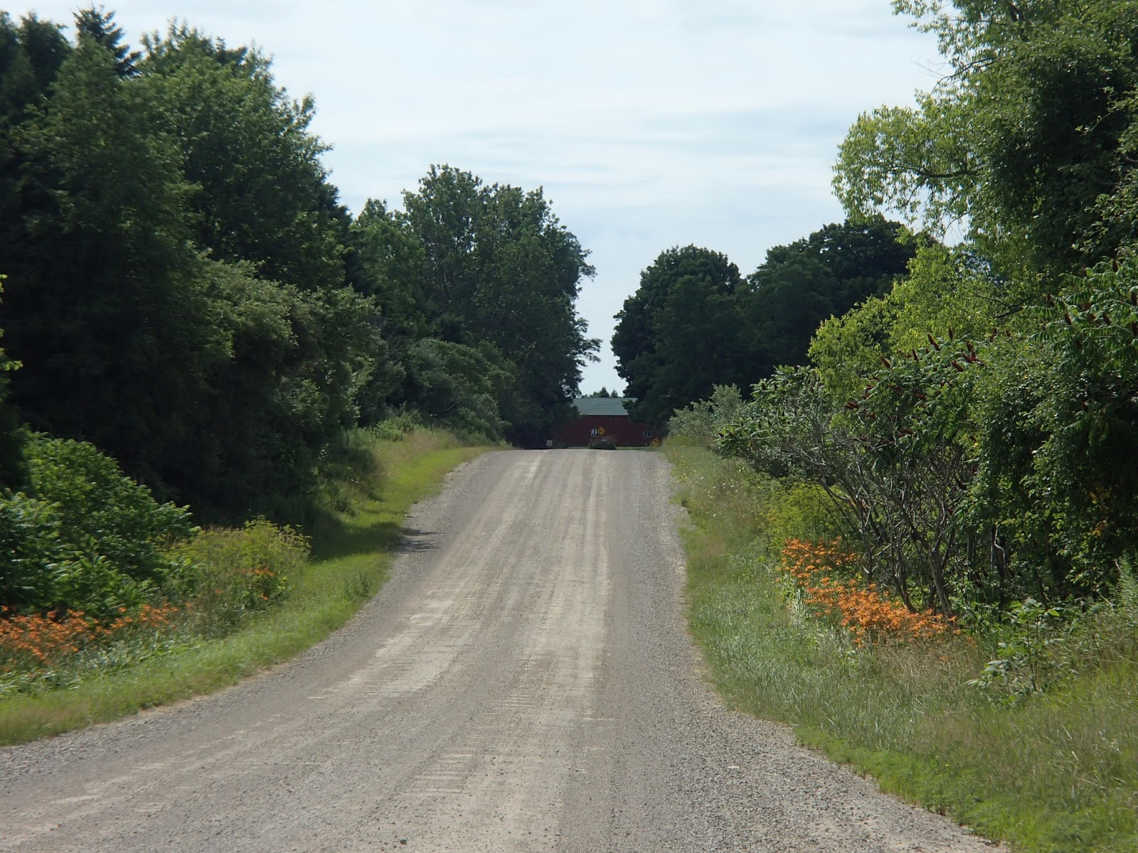
Crooked Toe Road was actually pretty straight!


The trail followed Boundary Road for about 1km before it headed off to the north to head around Jones Bluff. The trail hugged the top of the escarpment as it headed north, then northwest, west and then southwest as it travelled around the bluff. Here are photos from around the bluff looking out over Cape Croker and eventually Sydney Bay.


At the 30.2km mark the trail met Sydney Bay Road and then to Park Road, leading down to the base of Sydney Bay to the Cape Croker Campground. This is where I camped for the night. The campground was nice and the First Nations people working in the office and throughout the park were great - note, no running drinking water so you need to buy bottled water at the front desk. Photo of my campsite.


I woke up next morning and headed out through the campground to the camp beach and then across a wonderful boardwalk called the Snake (Ginebec Miikaan) boardwalk. The 900 meter boardwalk traverses the large marsh at the base of Sydney Bay. It was built by volunteers and funds from both the Bruce Trail and the Cape Croker First Nations peoples. Here are some photos from this section.


Once across the boardwalk and Hope Bay Road, the trail headed towards and up the escarpment. The trail climbed steeply over a large boulder talus slope to the base of the vertical escarpment and then climbed up the last vertical part of the escarpment on a steel staircase. Once to the top of the escarpment the views were incredible. Here are some photos from this section.

Looking up from the bottom.


Looking down from the top.


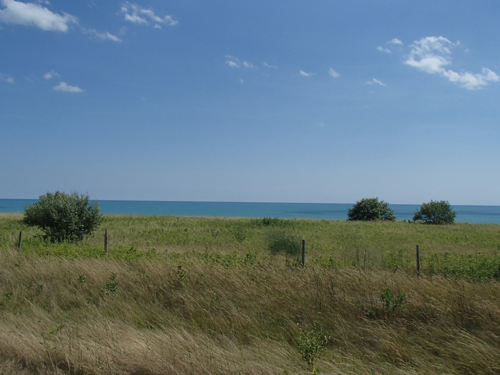
The trail, as with the earlier Jones Bluff, hugged the edge of the escarpment around Sydney Bay Bluff. At the 36.3km mark there was a very nice lookout over Sydney Bay, after which the trail headed northwest across the bluff. At the 38km mark the trail hit the northwest edge of the Sydney Bay Bluff and followed the edge of the escarpment for almost 3km, again with beautiful views out over Hope Bay


Around the 41km mark the trail steeply descended the escarpment via some steep wooden ladders and then down Brock Street to Hope Bay Road. The trail followed Hope Bay Road into the small cottage village of Hope Bay. Lots of nice cottages along and overlooking the bay.


I arrived at Hope Bay campground where I had left my car. The campground has a nice store on the waterfront and beach with snacks, drinks and ice cream - I sat in a Muskoka chair on the store deck and enjoyed an ice cream cone!!

Another nice couple of days of hiking and camping.

Completed: 77okm

Monday, 22 August 2016

Waterfront Trail - Lake Erie - Windsor to Port Rowan - Other Adventure 5

My next "other adventure" hatched as an idea back in late spring when I got back onto my mountain bike and started doing more local rides. I felt good and started to think about doing a longer, self supported bike packing tour. I started to do some research into the Water Front Trail as a potential adventure.

The Water Front Trail is a not-for-profit organization that was started back in the late 1980's as the Waterfront Regeneration Trust. The objective then, as it is today, is to regenerate, celebrate and reconnect people to our Great Lakes waterfronts. In 1995 the Lake Ontario section of the trail was opened stretching from Stoney Creek to Trenton. By 2007 the trail was opened and signed all the way to the Quebec border and in 2013 the Lake Erie and Lake St. Clair sections were opened stretching from Fort Erie to Windsor and north past Lake St. Clair. The trail follows road, streets and paths over it's length. Today there is 1600km of trail stretching from Grand Bend on Lake Huron, along Lake Erie, Niagara, Lake Ontario and the St Lawrence River through to the Quebec border.

Although my GIANT Trance full suspension mountain bike was not exactly a "touring" bike I was able to get a seat post leveraged rear rack with paniers and front pack and loaded up all the necessary gear for a self supported trip. That included my 2 person tent, sleeping bag, mattress, stove and fuel, pots, dehydrated food and clothes.

I hopped onto the 6pm VIA train with the bike and headed to Windsor. I unloaded in Windsor late that night and headed to my first night at the Kirk's B&B near the Windsor train station.

Day 1 I headed out on the WFT along the Windsor waterfront looking out over the Detroit River and the City of Detroit heading south under the Ambassador Bridge. Here are some photos from this section including my bike loaded up with all my gear.


I headed south through Windsor and the suburb of Sandwich - here are a couple of historic building in Sandwich.


The trail headed southeast through Micmac and Malden Parks following some nice paved and gravel trails.


The trail then followed Highway 3 south - a paved but busy route but traffic was respectful. Here is a photo of River Canard area and church.


At about the 34km mark I arrived in Amherstburg. From here I headed east out of town about 3km to Willowood Trailer Park where I camped for the night. A nice and clean trailer park. I set up camp and then called a taxi to get a ride back into to town for some time exploring and relaxing in Amherstburg. Here are some photos of my time in town including my campsite, the Detroit River and freighter and a Beau's Lugtread beer while having dinner on the patio while I read.


Day 2 was cloudy - I headed back into Amherstburg and back south on Highway 3. Here are photos of the Big Creek area, a Slo-Pitch baseball tournament where I stopped for a break and views along Highway 38 in the Holiday Beach area.


The trail continued southeast along the Lake Erie shore through Essex and then Colchester passing some of the many winery's in the area.


Here is a photo near Cedar Beach just west of Kingsville.


The trail followed a "rail trail" between Kingsville and Leamington and then south through the town of Leamington - I stopped at a Tim Horton's and had a mid afternoon lunch break. The trail continued south of Leamington towards the Point Pelee area and then U-turned back north to Highway 20. The trail headed east and north past the Hillman Marsh and Hillman church and then north towards the port town of Wheatley. Here are some photos from this area.


I finally arrived in Wheatley Provincial Park at about 7pm after a long 90+km day. In Wheatley I found an LCBO and picked up a beer and a cider to drink that night at the park - they went down really nice!! Here is a shot of my camp site.


Day 3 dawned beautiful - sunny and warm. I headed north from Wheatley and then east along 3rd Concession and 16th Line for almost 40km. Some of this section was paved but a large portion was gravel and at times large and loose gravel. For this section I was happy I had my mountain bike with large tires! Lots of wind turbines along the route amongst beautiful flat farmland.


The trail headed southeast towards Erieau - first time I had ever been to this area. I stopped in the beach town of Erieau for lunch. Leaving Erieau, the trail followed the Erieau Marsh Trail, then north, east and south to a corner village of Shrewsburg. Here I headed east along Highway 11 and then south on Highway 13 to Rondeau Provincial Park where I camped for the night. About 70km for the day - here are photos from this section and my campsite.


Day 4 again was nice - I headed east and north to the village of Morpeth just past Terrace Beach on the lake. In Morpeth the trail headed east on Highway 3 with nice views south towards the lake. I had started my morning as usual with my instant coffee and oatmeal for breakfast, but by mid morning I was starting to think about finding some real breakfast. Lo and behold, over the next rise on Highway 3 east of Morpeth, I came upon the Crazy Eight Barn. Wasn't exactly sure what it was - turned out if was a craft place but also a bakery/coffee house. They didn't serve breakfast but had freshly made bread so I had a large egg salad sandwich, fresh made muffin and coffee - hit the spot!!


An old homestead along Highway 3.


The trail continued east on Highway 3, heading south at one point to Port Glasgow - a nice beach village where I had ice cream! At about the 25km point for the day I headed south on Coyne Road to Duttona Trailer Park on the shore of the lake. The trailer park was old but nice. No sooner than I had set up camp and was settled and reading, a guy came over with a patio chair and two beers - said he thought I might like a more comfortable chair and a beer - which did fit the bill! Soon his wife was there and a couple of other neighbours in the park and we ended up having a few beers and a good get together. A trail led through the park to the bluff looking out over Lake Erie - here are some photos from this section including looking out over the lake from the bluff and a full moon! 


Day 5 was nice and sunny again - I headed east along Highway 8 through John Pearce Provincial Park and along Lake View Line and Fingal Line. This area has many historic homes and settlements from the early Loyalist settlers including many sites attributed to Colonel Talbot. The trail followed Scotch Line into Port Stanley where I spent some time looking around and having a large wonderful breakfast at the "Breakfast Restaurant". Here are some photos from this section and Port Stanley including the lighthouse, lift bridge, downtown and harbour.


The climb out of Port Stanley was a steep one but soon I ended up on Dexter Line heading east towards Port Bruce. Here are some photos heading into and in Port Bruce including the lake side bluffs, beach and fishing. The pier was so busy with fisher people catching perch. I also had ice cream here on the beach.


The climb again was steep out of Port Bruce as the trail headed east again on Highway 42  also known as the Talbot Trail, towards Port Burwell.


I finished about 70+km that day and camped in Port Burwell Provincial Park. Here is a photo of my camp site.


Day 6 was very nice weather again as I headed east from the park into Port Burwell. Here are some photos of the harbour, beach, lighthouse and "submarine" - a Cold War era Oberon Class sub that was used to hunt Soviet ships. On a previous trip to Port Burwell I toured the sub and it is very interesting. The HMCS Ojibwa was brought to the port at great expense with the hopes of it being a large tourist draw - not sure it is working out that way!


Here are some photos along Highway 42 east of Port Burwell.


Just east of Port Burwell the Talbot Trail ends with a "closed road" sign. The trail detours to the north, east and then south meeting the highway again about 4 or 5 km east of where it was closed. On the east end I ran into a County worker who explained that the steep bluff caved in near the highway about 10 years ago and they closed the road. He said if you look today, the area where it had caved in is moving inland with more bluff eroding, now the size of a football field.


I entered Norfolk County, and passed cherry orchards. Also passed Sandhill Park, a private camping and trailer park located at a very large sand dune that rises about 150 feet above the surrounding fields but is almost 350 feet above the shore of Lake Erie. Here are photos from this area.


The trail continued along the Talbot Trail through the historic village of Clear Creek, past Houghton Baptist Church, a very old broken down house and Big Creek at the ghost village of Port Royal.


Finally, I arrived at my destination for this ride, Port Rowan, located on Long Point Bay and at the base of Long Point. Here are some photos from Port Rowan.


I had arranged for my son to meet me in Port Rowan to give me a ride back home.

All in all I was very happy and excited about my first bike packing adventure. I was happy my body and bike stood up to the challenge. The beautiful weather helped make this trip a big success. In total I travelled 405km over the 5 days of riding.

Next up is continuing the Waterfront Trail from Port Rowan to at least Niagara Falls or maybe St. Catharines and on around Lake Ontario to the Quebec border - looking forward to it!!