Late August I set out on the Waterfront Trail starting on the Hamilton South Beach trail around Stoney Creek.
The trail followed the south shore of Lake Ontario on trails near the lake or just inland through residential, commercial or park lands. A fairly long stretch of this day's ride was along the North Service road paralleling the QEW highway - a nice wide paved shoulder and not too busy but not all that pleasant being right beside the QEW.
At the Jordan Valley Road, the trail crossed over the QEW and headed south for about 8km. My first day ended at the Jordan Valley Family Campground just outside Jordan Valley. What a wonderful, clean, well run campground - I set up camp and had a couple of swims in the pool, had dinner and a campfire and headed to bed. Here are photos from the first day.
The new GIANT Tough Road loaded up!


I headed out early the next morning through Jordan Valley and then back north towards the Lake Ontario shoreline. Crossing the QEW again the trail followed the shore through residential areas and parkland. I stopped in Port Dalhousie for lunch at Tim Horton's. The trail continued east towards the Welland Canal (crossing on lift bridge) and then on to Niagara On The Lake. The trail passed near Fort Niagara. Heading south now I followed the Niagara Parkway Trail to Queenston Heights where the trail steeply climbed the Niagara Escarpment towards Niagara Falls. Once in Niagara Falls I headed west into and through the city (on a very busy 4 lane city street!) to my destination at the Niagara KOA campground. The campground was OK - clean but very busy with lots of campers. Had dinner and a campfire again. Here are photos from my second day.


The Welland Canal.

Fort Niagara.


Queenston Bridge to the U.S.


Queenston Heights from below with the Brock Monument and then from the top of the escarpment.
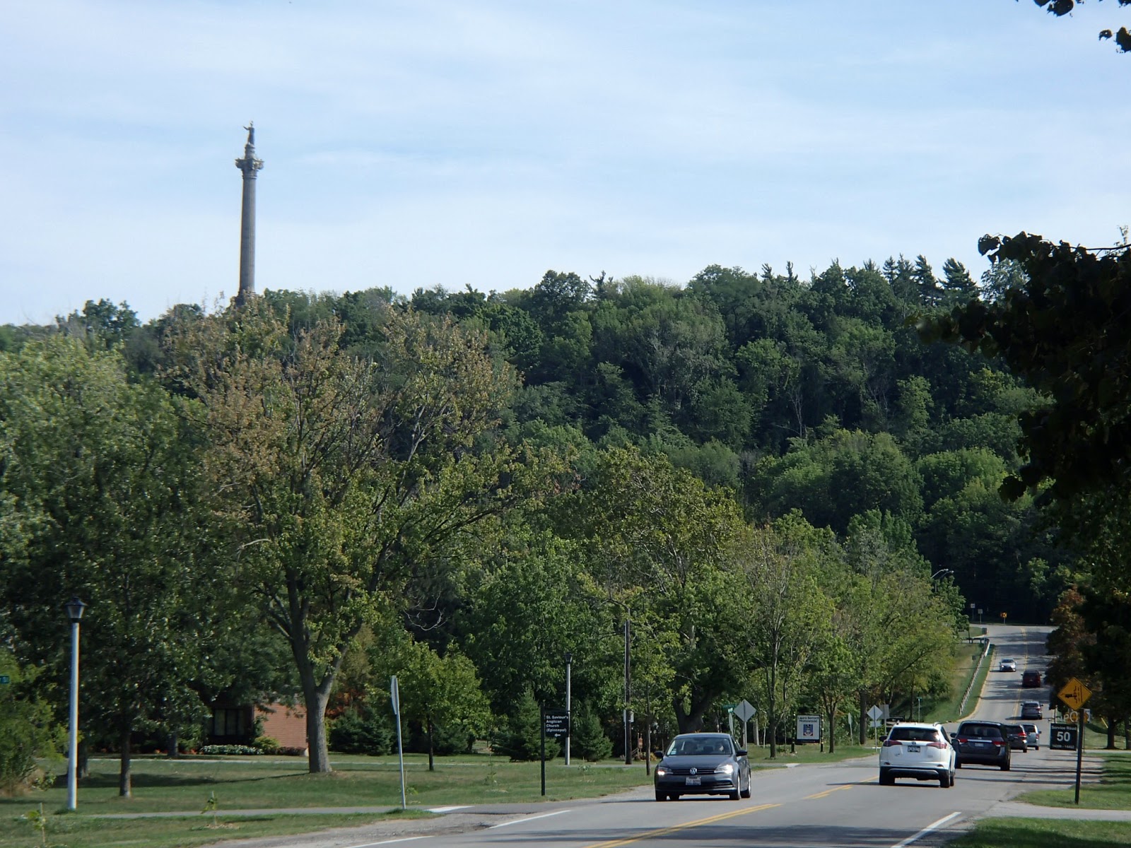


Passing under the Queenston Bridge.


It rained quite a bit through the night and I woke to rain. It slowed enough that I could tear down camp and move everything over under a shelter where I had breakfast and finished packing. The rain let up and I headed out - back into Niagara Falls to the falls where I picked up the trail again and headed south along the Niagara River Parkway. Continuing south I finally got to Fort Erie where Lake Erie empties into the Niagara River. From Fort Erie I now headed west along the north shore of Lake Erie through parkland and residential areas until I hit the Friendship Trail, a beautiful paved rail trail. The rail trail was inland from the shore and travelled through woodlands and open farmland. About 15km along the trail I arrived at my next nights destination - Windmill RV Park. The day had been warm and muggy and luckily I arrived at the park just in time to get under a shelter for a huge thunderstorm and heavy rain. Once the storm passed, I waited for things to dry a bit and then set up camp. As night approached the weather cleared and turned very cool. I had dinner and a campfire again and headed to bed. Here are photos from my third day.
Old Welland Canal.


The Old Scow - broke loose from moorings a few kilometers upstream many, many years ago - the men aboard were smart enough to open the floor doors, flooding the boat and sinking it before it went over the falls.


Two different styles of large houses along the Niagara River.


The Peace Bridge between Fort Erie and Buffalo, U.S.


Fort Erie.

Another very different house just west of Fort Erie.


Huge storm and downpour at Windmill RV Park.


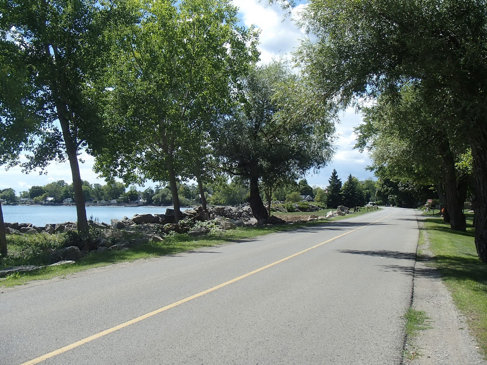
Up early, I headed out after breakfast, back along the paved Friendship Trail heading to Port Colborne. I crossed the Welland Canal again in Port Colborne (the Lake Erie side of the canal) and then headed west again along the north shore of Lake Erie. The narrow, paved road hugged the shoreline. Lots of cottages and parks and the views out over the lake were beautiful. I stopped in LowBanks along the shore at Hippos where I had fresh perch tacos, French fries and a beer sitting on a patio right on the lake - made you think you were sitting in a Caribbean resort. I arrived at my destination late in the afternoon, Rock Point Provincial Park. I found my campsite, set up and then rode down to the lake to see the shore and beach area. Lots of very flat rock along the shoreline. Headed back to camp, had dinner and another campfire and headed to bed. Here are photos from my fourth day.
Town of Ridgeway.


Welland Canal.


The Hippo's restaurant in LowBanks.


Loved this LowBanks T shirt!


The trail headed north out of the provincial park for 10km or so to the town of Dunnville. I stopped in town at the Pothos Café for a breakfast of waffles, bacon and coffee - tasted so good! From here I crossed the Thames River as it emptied into Lake Erie, south towards the lake where the trail continued west hugging the north shore of Lake Erie. I continued west along the trail to the small village of Selkirk and from there, only a short distance to my destination for the day, Selkirk Provincial Park. Another small but very nice park - I set up camp, had dinner and another campfire. Here are photos from my fifth day.


Thames River.


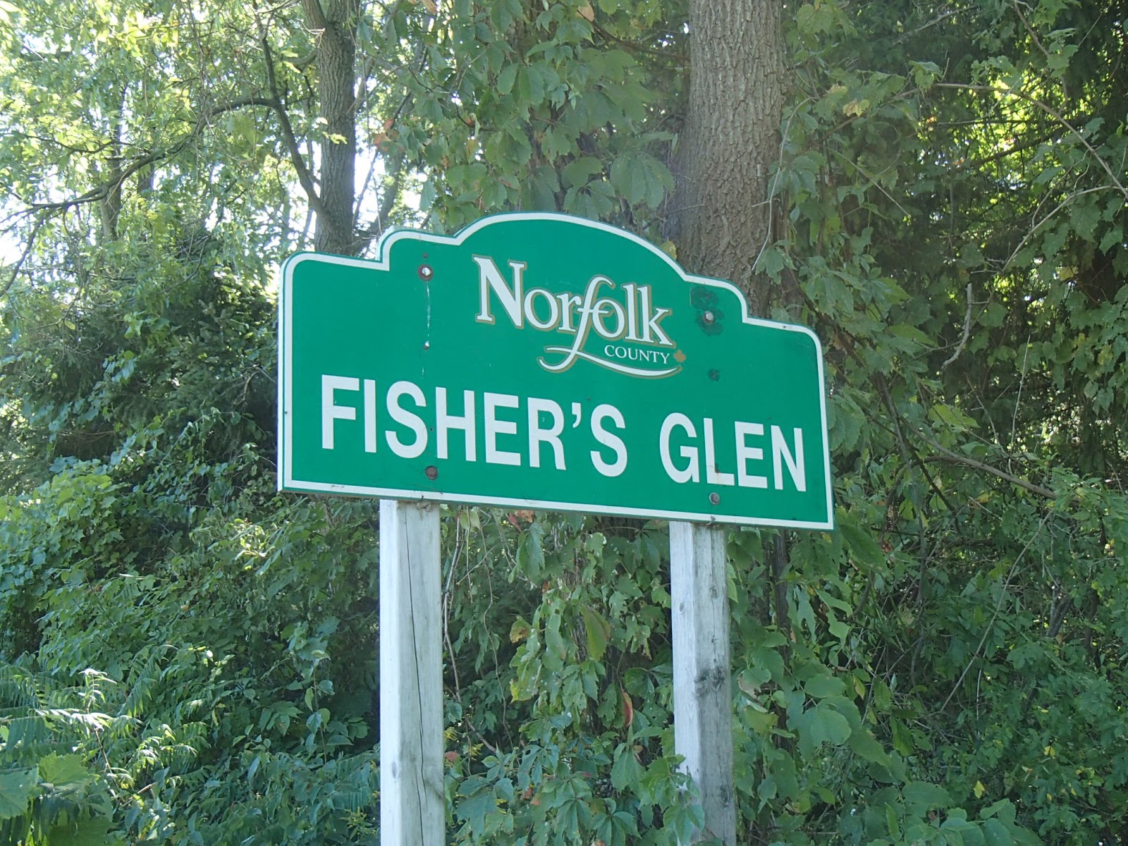
I woke up early to head out on my last day of the bike pack trip. The trail continued to follow the north shore of the lake passing the moth-balled Nanticoke thermal generating station and Lake Erie Steel mills. The trail continued west to Port Dover where I met my son, who had ridden his road bike down from the Hamilton area. We had lunch near the public beach and then headed out west again along paved roads that hugged the shoreline through small lake side villages like Port Ryerse, Fishers Glen and Normandale. Eventually we arrived at our destination.


Nanticoke Generating Station.


The famous Arbor restaurant in Port Dover.

A ridiculously large mansion just west of Port Dover!




Turkey Point lookout.


I arrived at my destination after 5 night/6 day bike pack trip - total distance travelled was about 350km. I've now biked the total Lake Erie section and part of the Lake Ontario section of the Waterfront Trail. Looking forward to more Waterfront Trail sections heading around Lake Ontario and east towards the St Lawrence River and the end of the trail at the Quebec border.


