I had my B&B host follow me and drop my car at my end point and then take me to my start point for the day's hike. I started my hike at the 55.9km mark in Eugenia.
The trail lead to the southern brink of Eugenia Falls and then followed the southern rim of the Cuckoo Valley. Here are some nice shots of the falls and this area.


The trail descended and then climbed again to a nice lookout located on top of a large till cone or kame, which was created millennia ago by a plunge pool of a water fall off a glacier.

A beautiful pink trillium.

The trail descended to the Lower Valley Road which it followed for a short while before it headed back into the woods and ascended up a ridge to a beautiful uplands meadow highlighted by a bench under a very old hemlock tree. Here are some nice shots from this section.


An interesting looking fern that I am trying to identify?


The trail continued through the woods and descended to cross a brand new bridge over Mill Creek and at the 62.8km mark met Lower Valley Road again.


The trail crossed the road and continued to the Boyne River and Hogg's Falls. William Hogg settled in the area in 1870 and built a sawmill which burnt in 1888. There are some faint traces of the ruins and the area is now a protected forest reserve. Of note, William Hogg was the son of the Hogg family that lived in York (Toronto) - the area in the Don River Valley near Yonge St and York Mills Road is known as "Hogg's Hollow". Here are some nice shots around the 7 meter falls and then upstream from the falls including a sign that answers the question "how much have I travelled and how far do I have to go".


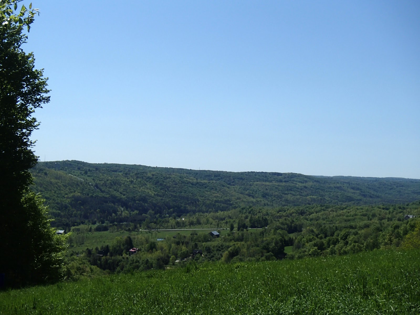
The trail crossed Boyne River at the 64.3km mark and then headed back into the woods climbing the western edge of the valley. The trail continued through woods crossing many streams that tumbled down the edge of the escarpment. At the 70.1km mark the trail headed west along Johnston's Sideroad for a few hundred meters and then back through farmers fields and woods including a scenic lookout back across to the Cuckoo Valley and Eugenia Falls area where I had started hiking that day.


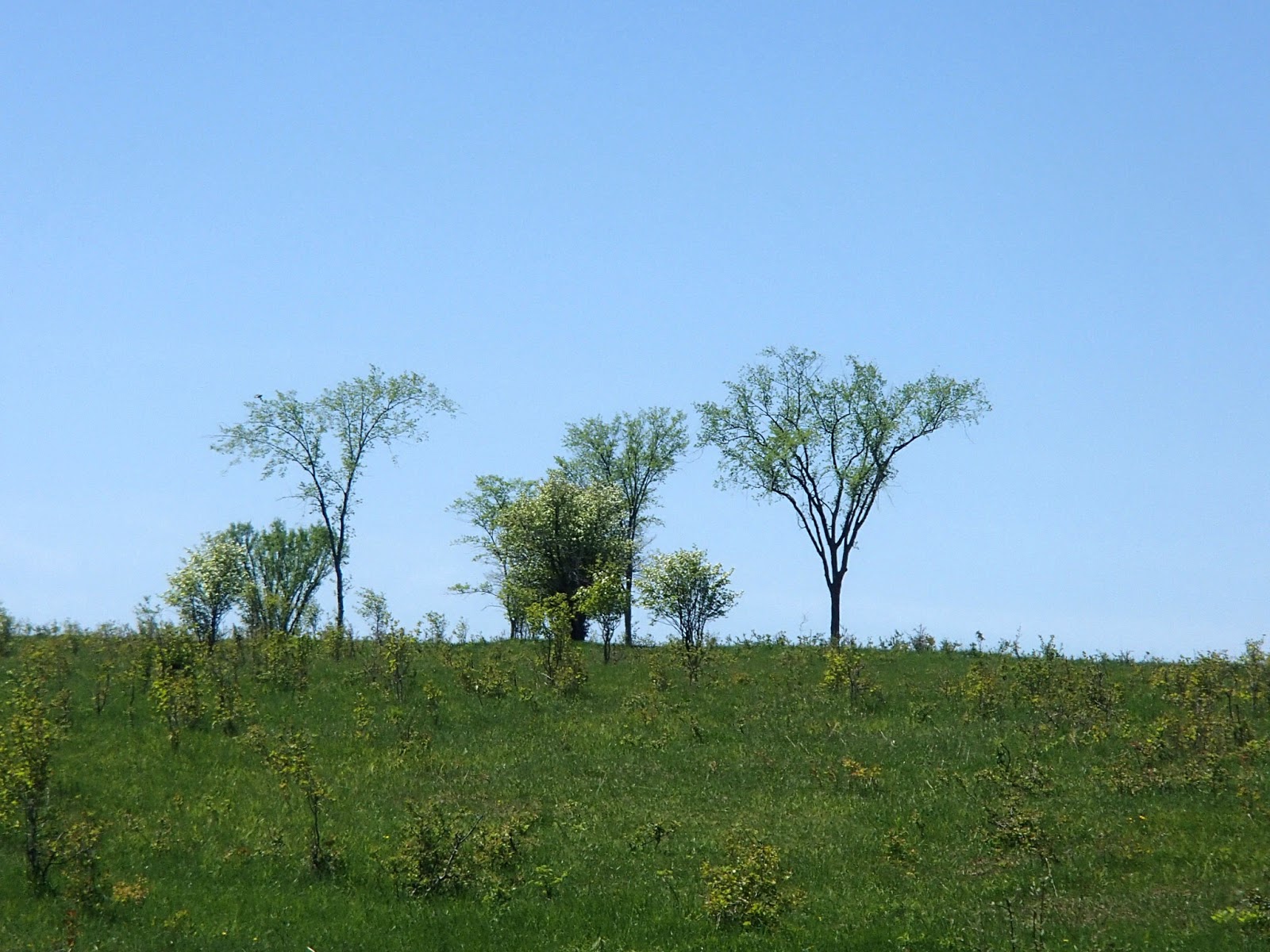
Here are some nice photos of various plants and a tree fungus from this section.


I drove back to my B&B for the night, Danby House B&B in Markdale. Barb Danby has a beautiful old house with beautiful rooms and amenities - highly recommended! Barb's website is www.danbyhouse.ca

I enjoyed a nice dinner that evening at Steven's Bar-BQ Restaurant in Markdale.
After a wonderful breakfast from Barb the next morning, she followed me out to park my car at the end of my second days hike and then drove me back to my start for the day at the 72.8km mark.
The trail headed north into the woods along the escarpment passing a number of streams and waterfalls and then descended beside one of the waterfalls at about the 74km mark. The trail exited the woods into a valley meadow full of old fruit trees with nice views back up across to the OPG penstocks on the eastern side of the Beaver Valley.


How is this for location - perched at the top of a beautiful waterfall!


A beautiful house on the western side of the valley.

The trail crossed Highway 30 and followed a hydro line along the lower side of the valley eventually entering the Beaver Valley Ski Club, a private ski club. The following pictures are from this area both at the bottom of the ski hills, part way up (with some snow still lingering in the hollow) and from the top of the ski hills and valley.


The trail continued mostly through woods along the top or side of the western edge of the valley. At about the 79km mark the trail swung around a rocky outcrop in the woods where Bill's Creek emerged from the escarpment - the trail followed the creek down the escarpment and then turned and headed north again until it met Sideroad 7A at the 80.9km mark.


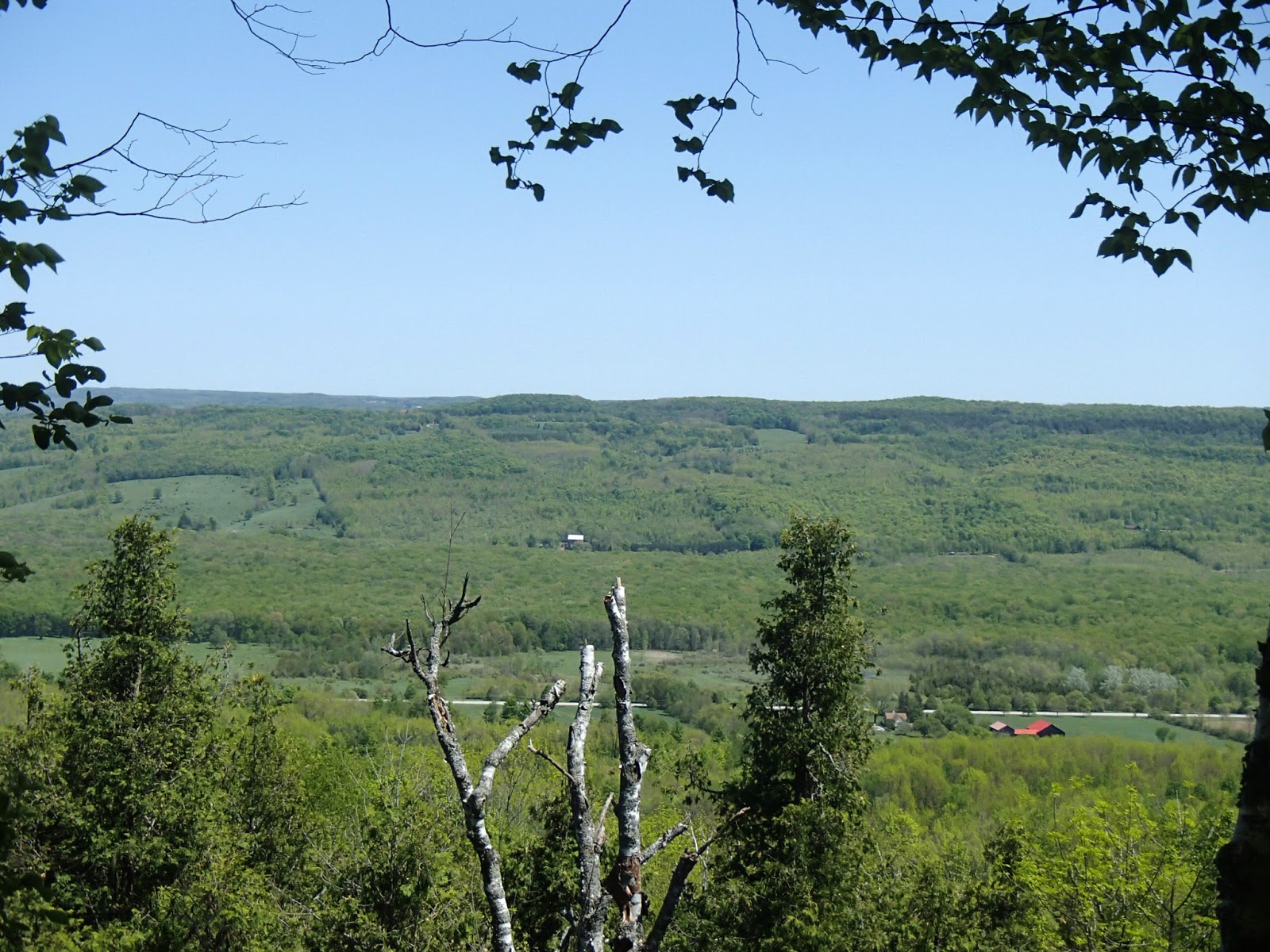
The trail climbed Sideroad 7A to the top of the escarpment and then headed north again along the top of the escarpment at the Talisman Ski Resort. Here are some nice shots from the top of the ski hills looking across the Beaver Valley to the eastern rim, including Old Baldy (hiked just a couple of weeks earlier).


Just north of the ski resort, the trail drops over the edge of the rocky escarpment down a very steep 7 meter ladder.


From here the trail continued through the woods, along the escarpment and valley edge passing many creeks and views looking up at the rocky escarpment.


Here are some wildlife photos - a racoon I scared up a tree and a turkey vulture spreading it`s wings in the sun!


The trail climbed back up the escarpment. Here are some shots from this area including a very large rock (probably 2 meters in diameter) perched at the edge of the escarpment, propped up from rolling down hill by a single smaller stone.


I arrived at my car parked at the 85.8km mark with the following view.

Another wonderful two days of hiking!
Completed: 530.9 km
No comments:
Post a Comment