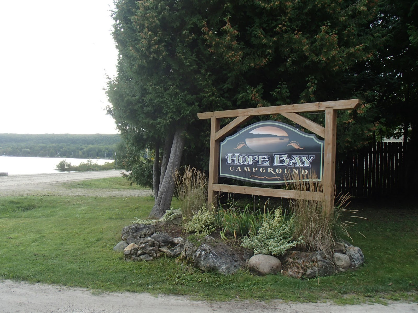
I arrived and parked at Hope Bay Campground on a Saturday registering for my camp site for that night. The camp owner, Len, gave me a lift out to park my car near the 52.8km mark and then drove me back to the camp at Hope Bay.
A shot of the bay at the campground and the escarpment I'd be hiking..

I headed north out of Hope Bay - the trail steadily climbed to the top of the escarpment looking out over Hope Bay. Many very beautiful views out over the bay!


Looking back down at the camp ground beach.

At the 45.1km mark the trail passeed some "Glacial Potholes". These are amazing - perfectly circular holes about 6-8 feet wide and 10-12 feet deep. As noted these holes were formed when the glaciers were passing and a large rock was ground into the surface rock in a circular fashion. Here are some photos.


As the trail headed north east along the top of the escarpment there were many viewing points where rock ledges extended out from the escarpment. I stood and took some photos from one of these ledges only to see a bit further that the ledge was truly a "ledge" extending quite far out from the edge of the escarpment! Here are some photos.


Now I see what I was standing on!


The trail passed Shoal's Cove and then crossed the Jackson's Cove Road at the 50.4km mark - also several nice views off the escarpment of Shoal's Cove, Jackson's Cove and the distant islands.


At one point the trail dropped below the escarpment a bit where there were very interesting rock formations in the limestone.


At the 52.8km mark I took the Pease Side Trail inland to where I parked my car and then headed back to Hope Bay campground.
It was a very clear and cool (6C) night for camping but had a very nice camp fire, saw many stars and heard local coyote howls in the night.


Next day after breakfast and tear down, Len again gave me a ride out to park my car at the parking lot at the 66.4km mark and then drove me back to the 52.8km mark where I ended the previous day's hike.
Not far after hitting the Bruce Trail again the trail dropped steeply off the escarpment to a glacial beach plateau along the edge of the water. Here are some photos from this section.


At the 55.8km mark the trail descended stairs to the rocky shore and water's edge. The trail continued along the waters edge through the Chris Walker Nature Reserve. This was a very beautiful section of the trail - incredible rock formations, crystal clear water and views of the escarpment to the north. Here are some photos from this section.


The trail followed Rush Cover Road a kilometer or so past cottages to the small village of Rush Cove - not much there other than cottages. The trail followed the road steeply up the escarpment to the top and south to Scenic Caves Road. There it turned west and followed the road out to Highway 9 and then along Highway 9 to the Barrow Bay parking lot where I had parked. Here are photos from this section.


I headed home. Not a long hike for 2 days but great weather, good camping and great hiking!
Completed: 791.8km
5 comments:
Are you still hiking or did you finish and just not complete your blog? Please tell me you did not give up. You were so determined.
Yes still hiking but doing mostly bicycle touring/packing this year - will finish the BT next spring/summer. Thanks for following
Yeah, good for you. Still watching and waiting. Thanks for the report.
I've asked this question elsewhere, so I hope this isn't redundant. Scenic Caves Road goes all the way to the edge of the escarpment, but the last 500 meters are pretty rough for most vehicles. I parked at the Pease Side Trail parking lot and, instead of taking the Pease trail, followed Scenic Caves Road to the very end. Many large puddles! At the end of the road is another parking area and an old stone monument, about 7 ft in height. Didn't get a chance to read it. If anyone knows why the monument's there and what it's about, I'd love to know.
Post a Comment