I decided to head up for a long hike (20km) over a single day. I drove up to my end point and met my brother there, who lives in the area, left my car and got a ride to the start of my day's hike.
The weather was sunny with some cloud but very warm and humid. I started the day where I left off on my last hike at the 22.1km mark of the Sydenham section of the trail. The trail headed north into the woods, crossing 6th Concession into the woods again and then finally following 6th Concession for a few hundred meters. Here are a couple of photos from this section.


This was interesting as it appeared to be an old wooden ramp someone built as part of a mountain bike course.

At the 25.6km mark the trail met Sideroad 6 and followed it for a couple of kilometers and then turned north and followed 4th Concession for another couple of kilometers to Highway 18. Here are some photos from this section.


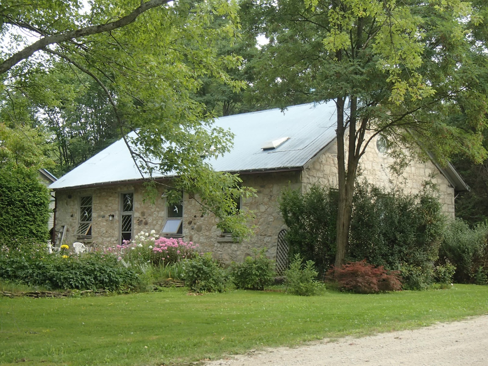
An old schoolhouse converted to a home.

Looking north on 4th Concession towards the Bognor Marsh and beyond to the escarpment I would be hiking later that day.

Crossing Highway 18, the trail followed a wide dirt path into the Bognor Marsh Management Area. Around the 30.4km mark there was a nice covered picnic shelter where I stopped for lunch. Here are some photos from this section.


The Bognor Marsh Area is a very diverse region that includes 3 large marshes with small springs and an uplands forest on the escarpment. There is a wonderful set of wooden boardwalks and interpretive signs along the trails through the marsh. Here are some photos from this section.


At about the 33.5km mark the trail climbed out of the valley and marsh area up onto the escarpment with beautiful views looking out over the marsh to the hills to the south. Here are some photos from this area. Also many crevices and caves along the rail.


At about the 36km mark the new Wilson Homestead side trail exited to the south descending down off the escarpment to meet the Silent Valley and Avalanche side trails. I didn't take the side trail that day as I knew I still had a lot of trail to hike and I was starting to run out of steam with the heat and humidity. I wished I could have hiked it as I read that the trail passed a pioneer homestead foundation, a number of caves and most interestingly, the remains of a Cessna plane crash from the 1970's where several people died when their plane crashed in bad weather - another hike some day.
The trail followed along the top and down over the edge of the escarpment for the next 7-8km. This ended up being a very tough part of the day's hike due to the heat and humidity. Being in the woods and below the escarpment there was little breeze and very high humidity - for the last 3-4 kilometers I was sweating so much that it was steadily dripping off the brim of my cap. I knew I would drink a lot of water this day so carried about 3 1/2 litres and I was glad that I had, as I used it all up in those last few kilometers of the hike.
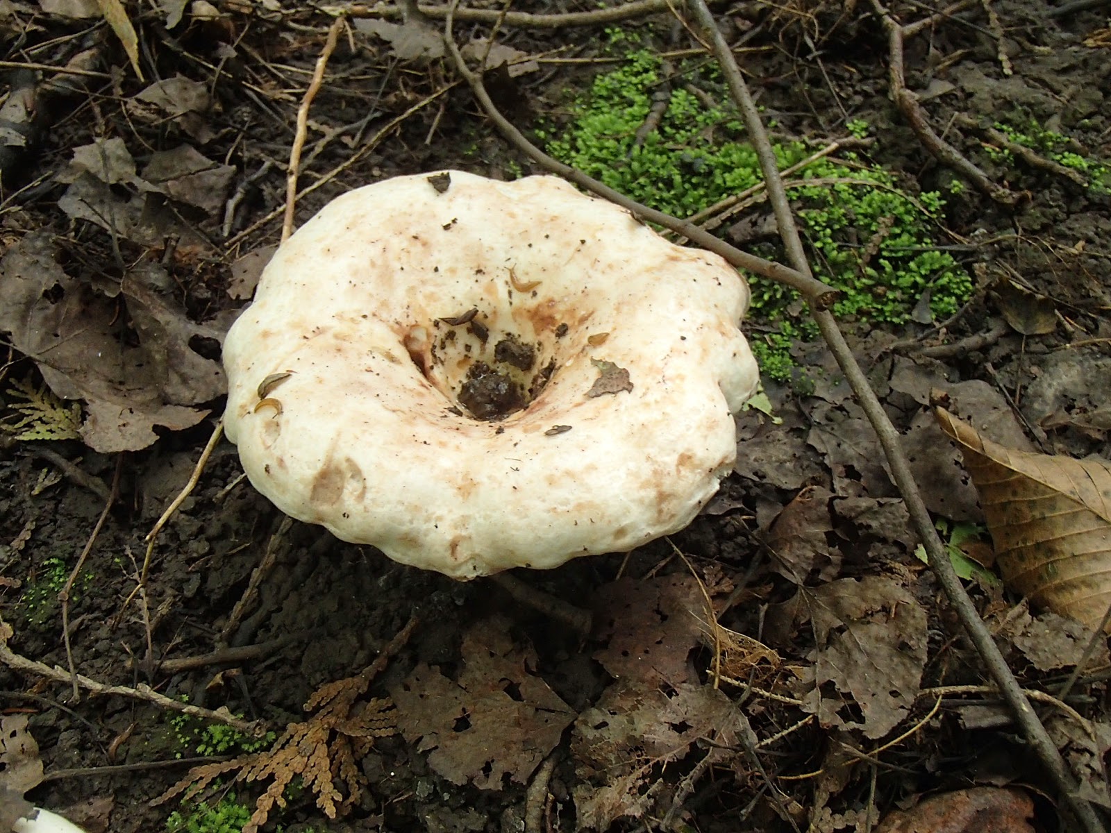
Along almost all parts of this hike I saw an incredible array of mushrooms and fungus - more than I had seen on any other part of the trail. Maybe it was just the time of year but here are some photos of various mushrooms and fungus, flowers and a jaw bone from some kind of animal.


Finally the trail came out onto Highway 26 between Meaford and Owen Sound at the village of Woodford. I crossed the highway and reached my car parked at the Woodford Community Center.

Looking forward to the next hike that will get me pretty close to Owen Sound and the prospect of heading north onto the Bruce Peninsula and the final section of the trail.
Completed: 600.9km
No comments:
Post a Comment