I arrived at my B&B on Saturday morning and my host drove me out to my starting point for the days hike at the 15.7km mark on the Blue Mountain section. I walked north along Concession 10 and then followed the edge of a farmers field until I reached and entered the Nottawasaga Bluffs Conservation Area. Here are some pictures from this section of the trail.


At the 20.4km mark the trail passed a BT parking lot and continued as the Ian Lang Memorial Trail. This area had a lot of early settlement and there were many places where you could see old roads and building foundations.


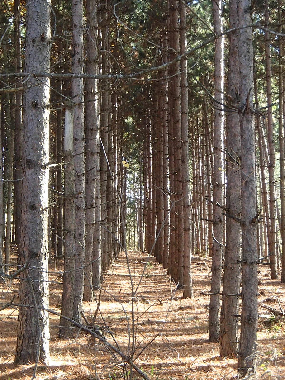
The trail continued along the escarpment and as I went the weather improved with sun and warmth, as you can see from some of the pictures of the beautiful scenes through this area.


The trail, through the 23 and 24km marks, followed the edges of farmers fields with some beautiful scenery. Here are some pictures from this section.


At the 24.6km mark there was a cairn for the western terminus of the Ganaraska Trail. The Ganaraska Trail runs 500km from it's eastern terminus at Port Hope on Lake Ontario to this western terminus at the Bruce Trail. The Ganaraska Trail began as a Canadian Centennial project in 1967. It has become a popular, well marked hiking trail although there is a sizeable stretch of "wilderness based" trail northeast of Lake Simcoe.

Heading northwest on the trail it wasn't long before I entered the Devil's Glen Ski area with incredible scenery looking out over the ski hills and in the distance Collingwood and Georgian Bay. Here are some shots from this part of the hike.


After descending some of the ski area runs the trail turned west and slowly ascended the southern ridge of the Mad River valley. The valley edge became very steep and narrow and at about the 27km mark, the trail descended very steeply by way of switchbacks down into the Mad River valley. This was probably the toughest section of Bruce Trail that I have hiked so far! There had been rain but in addition there was water seeping out everywhere and this steep trail was basically a large mud pit. I had to carefully pick my way down the path looking for solid ground or rocks to step on. This 500m or so of trail took me forever to get down!
Finally I made it down to the base of the Devil's Glen Ski area and crossed the Mad River. The trail then followed the Mad River upstream for a bit and then very steeply ascended to a parking lot at the 30.2km mark.


From the parking lot there was a short walk to a viewing platform that looked out over the valley.


From there, I hiked a short distance on the trail along Highway 124 up to my B&B. My B&B hosts were Steve and Elaine at the Avalon Clearview B&B. The house and property sits on 14 acres on the edge of the Mad River valley over looking the valley and Devil's Glen Ski area. What a beautiful location with incredible views! The hospitality, accommodations and food was great - highly recommended for anyone wanting a B&B in this area. The B&B website is www.avalonclearview.com and here are some shots from the B&B.


The next morning my B&B host followed me out to my end point and then drove me back to the B&B which was my starting point for the day. I travelled back down Highway 124 and started in on the trail at the 30.2km mark. The trail traveled in behind the B&B house and property - here are some shots from this section.


The trail crossed Highway 124 and headed north through farm fields and woods and finally came out on Concession 10. The trail followed Concession 10 north for 2.5km passing the Duntroon Highlands Golf Club and the Highlands Nordic Ski center, one of the premier cross country ski areas in Canada. Here are some shots from this section.


At the 35.2km mark the trail headed west along Highway 91 and then turned north back into the woods and farm fields. The trail entered the Nottawasaga Lookout Provincial Nature Reserve and followed the edge of the escarpment with some nice views out over the Collingwood area and Georgian Bay. Here are some pictures including my lunch spot sitting on a nice moss covered rock!


At the 41.4km mark I decided to take the Standing Rock & Caves Side Trail and what an experience that was. This trail left the main trail and dropped steeply over a rock ledge down about 5 meters into a large crevice. From there the trail followed various crevices and caves down the edge of the escarpment. At times the rock walls were probably 10-15 meters high above the trail. This side trail is certainly not for the faint of heart or someone who is claustrophobic as there were some very tight squeezes and sharp climbs and drops over very slippery rocks. In the end though, a very exciting section of the trail. The Standing Rock is a very large (10 meters high) limestone rock standing on it's own more than 80 meters away from the escarpment - shows the power of erosion over time! The side trail finally met up with the main trail again at the 42km mark. The trail continued to descend down the escarpment until it met the Osprey-Blue Mountain Townline. Here are pictures from this section of the hike.
The climb down from the main trail.


The "Standing Rock".


The trail continued north on the Blue Mountain Clearview Townline and at the 44.7km mark turned west into the woods and followed the Pretty River upstream through some very haunting cedar woods - check out the twisted cedar trunks in the picture below.


I finished up my hike at the parking lot at the 45.4km mark of the trail and from there headed home.
Hoping to get at least one more weekend hike in before winter sets in in a big way!
Completed: 423.6km
No comments:
Post a Comment