Hike 13 started from the street parking at Fisher Access Trail just east of Cedar Springs Road at the 78.8km mark on the trail. The day was cool but fairly clear and sunny with a skiff of snow on the ground.
The trail continued for a km or so through the woods and then came out onto open fields and woods that surround a large pond on top of the escarpment called Fisher's Pond. The pond was frozen over. Following are some pictures leading up to and around Fisher's Pond including a few "apple" pictures.
About 2km on through the woods, the trail descended off the escarpment and through open fields and met Highway 6, crossing a stile and the road. Here are pictures of the woods leading up to the Highway 6 crossing.
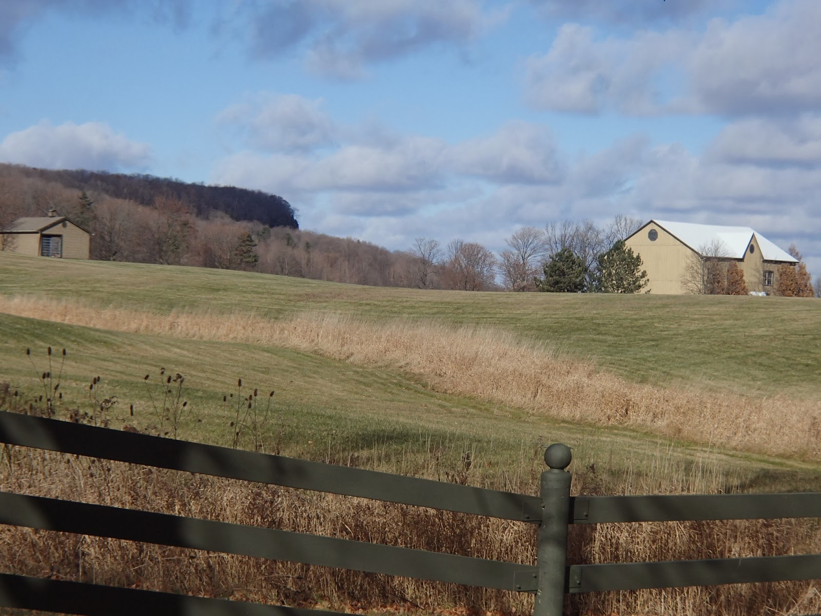
After crossing Highway 6, the trail continued east through open fields with nice views down over Burlington and the Lake Ontario.
A km east of Highway 6 the trail turned north and back into the woods climbing slightly towards Side Road 1. At the 83.3km mark the trail met Side Road 1 and turned east again following the paved road. That day I got a call from my son living in London that they had a huge snow fall over night and that he was digging out from almost 3 feet of snow.
The trail continued along Side Road 1 for 2km or more with beautiful views looking up towards the escarpment.
My wife met me at the 84.9km mark at the corner of Side Road 1 and Walker`s Line.
Completed: 164.9km


No comments:
Post a Comment