Hike 13 started from the street parking at Fisher Access Trail just east of Cedar Springs Road at the 78.8km mark on the trail. The day was cool but fairly clear and sunny with a skiff of snow on the ground.
The trail continued for a km or so through the woods and then came out onto open fields and woods that surround a large pond on top of the escarpment called Fisher's Pond. The pond was frozen over. Following are some pictures leading up to and around Fisher's Pond including a few "apple" pictures.
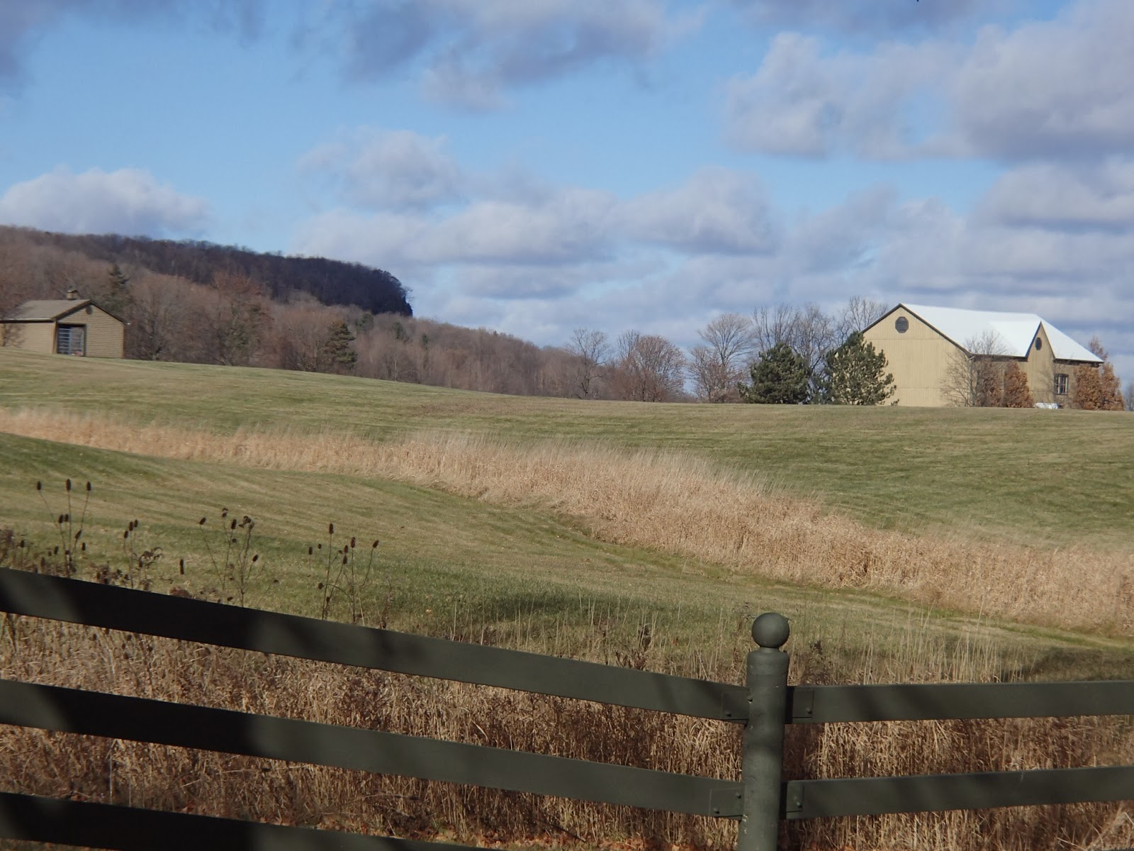
About 2km on through the woods, the trail descended off the escarpment and through open fields and met Highway 6, crossing a stile and the road. Here are pictures of the woods leading up to the Highway 6 crossing.
After crossing Highway 6, the trail continued east through open fields with nice views down over Burlington and the Lake Ontario.
A km east of Highway 6 the trail turned north and back into the woods climbing slightly towards Side Road 1. At the 83.3km mark the trail met Side Road 1 and turned east again following the paved road. That day I got a call from my son living in London that they had a huge snow fall over night and that he was digging out from almost 3 feet of snow.
The trail continued along Side Road 1 for 2km or more with beautiful views looking up towards the escarpment.
My wife met me at the 84.9km mark at the corner of Side Road 1 and Walker`s Line.
Completed: 164.9km
Hike 12 was on a beautiful, sunny but coolish day. My wife hiked with me for this section of the trail.
This section had, if I remember correctly, at least 4 or 5 stiles that had to be crossed including this first one.
We started at the 71.8km mark on the trail just east of Waterdown at Mountain Brow Road. The first couple of kilometers were through a nice section of Waterdown Woods, although with recent rain it was a bit muddy. There were nice views of Burlington out off the escarpment.
At the 73.5km mark we crossed King Road on top of the escarpment. King Road, in north Burlington, is in the news every year as this area is one of only 27 sites in Ontario where the Jefferson Salamander lives and breeds. The Jefferson Salamander is protected by the Endangered Species Act. Ontario is the only province outside the US where this salamander is found. It lives in the deciduous forests and each spring migrates to local ponds for breeding. For a week each spring King Road is closed to accommodate the salamander crossing from the forest to the ponds.
The trail continues until we reached Kerns Road. The trail crosses the road and enters Kerncliffe Park, site of the former Nelson Quarry. The quarry is being restored and developed as a park with many boardwalk traversing the old quarry through environmentally sensitive areas. The trail is located above the quarry.
More views down over Burlington and Lake Ontario.
The trail continues to the 76.9km mark where you have to cross 4 lanes of very busy traffic on Dundas Street/Highway 5. Not an easy place to cross - it took us 10 minutes to get a spot where we could cross and even then we had to run to beat the cars.
The next km of trail was through low lying area that was very muddy and wet. The trail brought us out to Cedar Springs Road at which point there was another stile. This stile proved to be my downfall for the day. With my boots muddy I climbed up the stile and as I came down the other side I slipped and fell backwards down to the ground and in the process trapping my right leg and calf in the stile steps. I badly bruised my calf and need several weeks to get better. Lesson learned - clean mud of your boots before climbing and carefully climb up and down.
Crossing the road we continued for a few km's around and through private land including a backyard that looked out over the escarpment. The yard had this old, dead tree that I thought was very interesting.
We finished at the 78.8km mark on the trail.
Another nice but painful hike.
Completed: 158.8km