I picked up where I last left off heading out on the west side of Felkers Falls at the 23.2km marker. The trails continued along the escarpment following various paved and path trails through woods and old pasture. The following pictures are from this section of the trail.


At the 25.5km marker the trail meets the old and now closed Mount Albion Road following it down the escarpment towards the new Red Hill Valley Parkway. A sharp left takes you under the parkway - here is a picture of Mount Albion Road and my "modernist" picture of the parkway!


A few kilometers past the parkway I took the Mountain Brow Side Trail so that I could see a couple of water falls. The first and more spectacular water fall was Albion Falls. This water fall is 19m high and is in an area that was once the Village of Mount Albion. It was established by William Davis in the 19th century and had blacksmiths, a tavern, church and general store. A toll road through Mount Albion to Hamilton charged 15 cents for 1 horse and 20 cents for two horses and a wagon! The area is also famous as it was the location of the 1st natural gas discovery in Ontario. Here are a couple of shots of Albion Falls.


A bit further, the trail curves around Buttermilk Falls which is 23m high. This picture looks down the falls from the bridge.

The trail continues along the brow of the escarpment in Hamilton - this picture looks east back along the escarpment that I've been hiking.

The side trail drops down the escarpment and meets back up with the Bruce Trail at the 27.2km marker and continues along below the escarpment and above the Kings Forest Golf Club. At one point the trail crosses what was once a ski hill on the escarpment, now grown over.

At about the 30km marker on the trail I stopped and had lunch overlooking Hamilton.

The trail meets up and follows the Escarpment Rail Trail, a hard packed trail that follows an old railway line that scaled the escarpment. At Hamilton's Wentworth Street the trail turns sharply left and climbs the Wentworth Steps to the Sherman Access Road. These steps were very steep and long with lots of people walking and jogging up and down for exercise!


The trail offers some nice shots of downtown Hamilton and then travels beside and then underneath the Jolly Cut access road to the Mountain.


At the James Street area the trail has a detour, due to construction on Queen Street, that takes you down an area of the escarpment that, in the late 1800's and early 1900's, contained the Hamilton Incline Railway. The 700 foot long tracks at a 40% grade carried rail cars with passengers up the escarpment in 1 1/2 minutes for a cost of 2 cents.
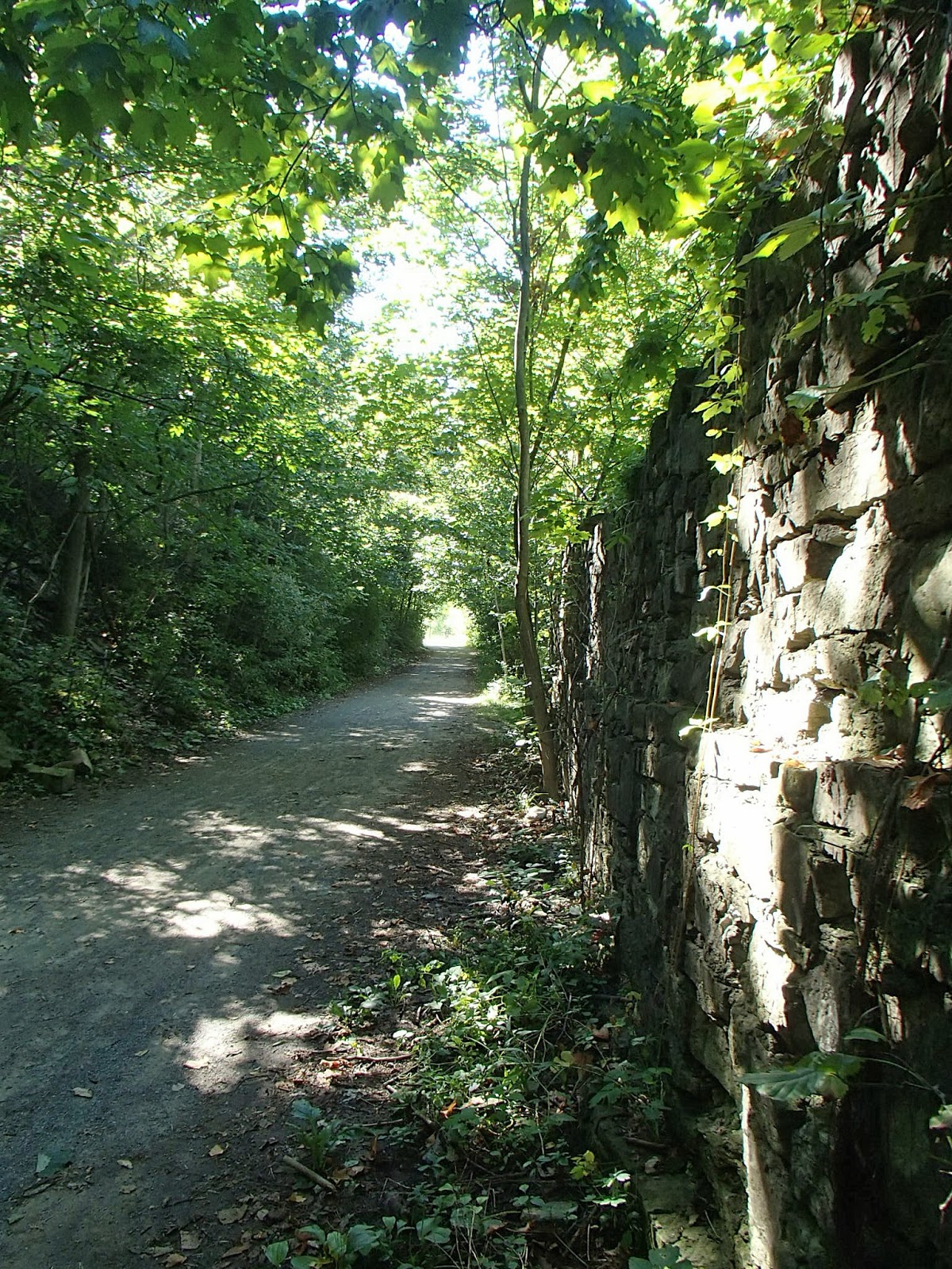
The trail continues along below the escarpment but above Chedoke Park and Chedoke Golf Club and meets the abandoned Chedoke Radial Rail Trail which climbs back up the escarpment. The Brantford & Hamilton Electric Railway travelled this line in the early 1900's. Tons of rock was blasted from the escarpment to create this line. The line was abandoned and the tracks removed in 1932 and there was consideration given to making it a road. As testament to the potential for use as a road, there is one area where there is a wall that was built from escarpment rock and the story goes that the wall was built to protect passengers and cars from flying bullets from a rifle range just below the escarpment at this point.

The rail trail continues up the escarpment, past Princess Falls, where you can look down on Highway 403 far below.


I finished up my hike at the parking lot at Scenic Drive at the 40.6km marker of the trail.
In total, 22.4km for the day, including the side trails and detours. A bit tougher walk with the distance, climbs up and down the escarpment and the detours but all around another wonderful hike.
Completed: 120.6km
No comments:
Post a Comment