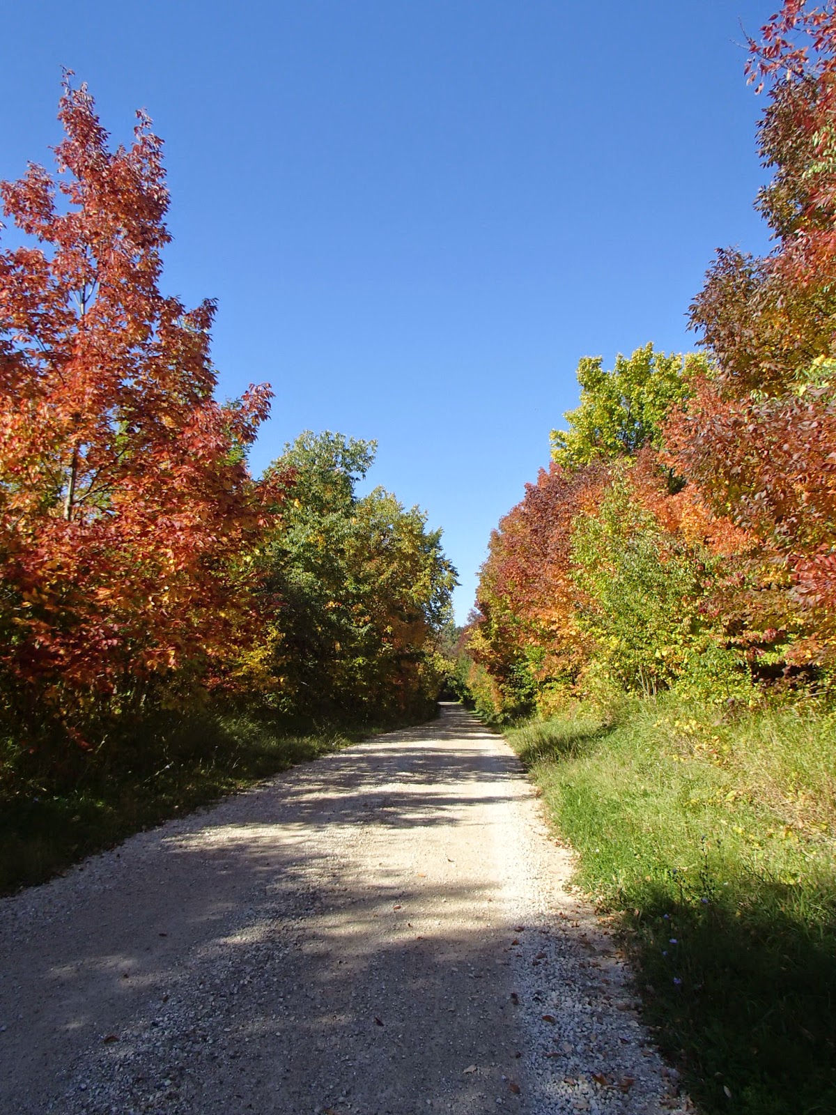
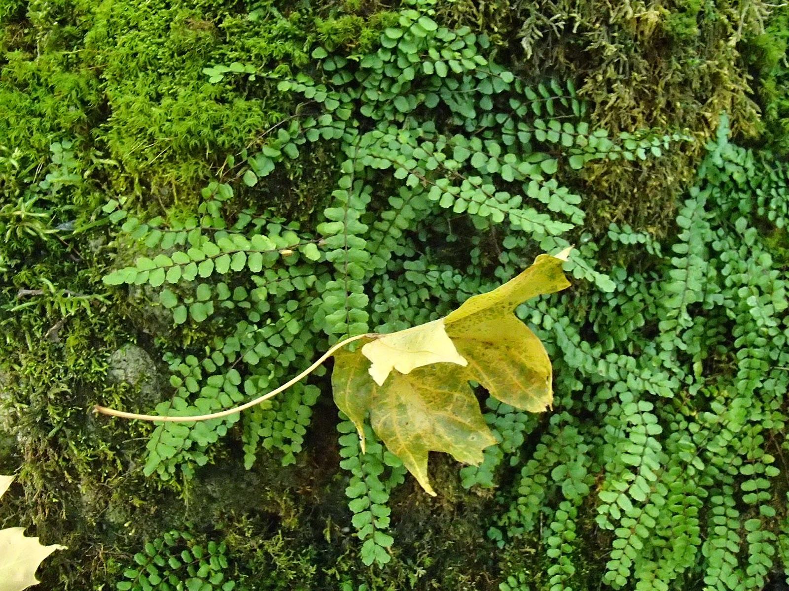
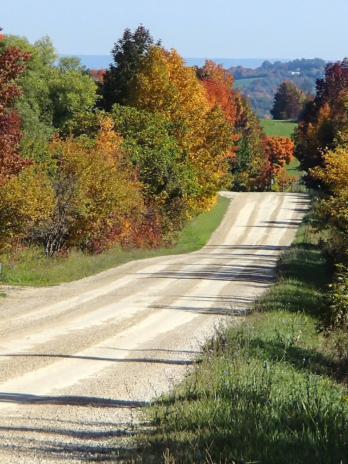
As you will see from the pictures, partly because it was such a nice sunny day, the timing for this hike was perfect as far as seeing the fall colours in all their glory!
My wife and I headed north on Saturday for a B&B stay in Creemore. My wife wasn't hiking with me - instead explored Creemore, the general area and got in some road biking.
I started my Saturday hike at the 46km mark of the Dufferin Highlands section on Prince of Wales Road. The trail travelled through woods and meadows and by farms (cows up close by the trail!) eventually coming out on Centre Road at the 47.3km mark. Here are some pictures from this part of the hike.


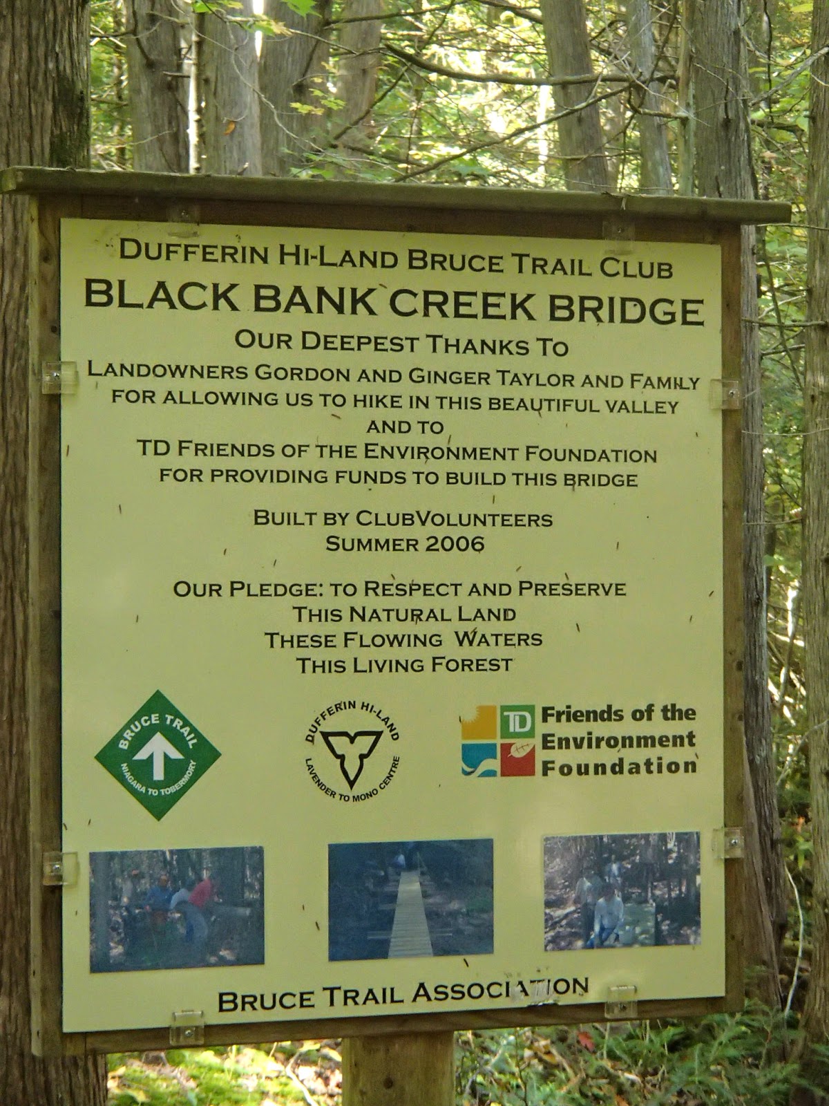
After re-entering the trail east of Centre Road, it descended steeply down to and crossed Black Bank Creek. I did some internet research when I got home and it was interesting that there was very little information about Black Bank given there are so many things in this area with this name including the creek, a hill and a settlement. Following are some pictures of this area.


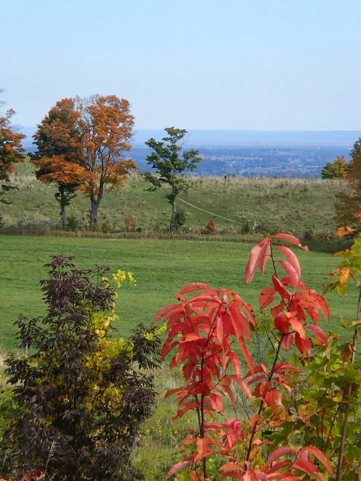
The trail headed east following a farmer's field with incredible views south and east over the farm and the Pine River Valley. The trail continued through to the 49.6km mark where it hit Highway 21. Here are some shots from this section.


After heading west along Highway 21 for a few hundred meters, the trail headed north again along the edge of a farmers field and then east towards the un-maintained 1st Line East.


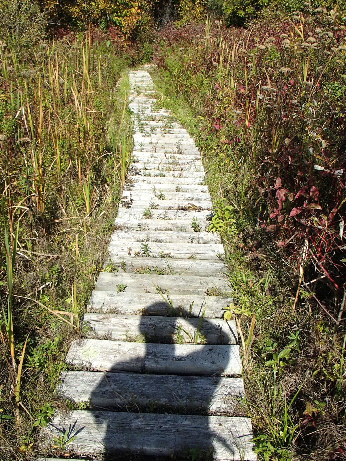
The trail then headed north from the 50.9km mark to the 54.9km mark along this generally un-maintained 1st Line East. The track generally followed the eastern ridge of the Black Bank Creek valley including some interesting things.


A 3 foot garter snake.

An old collapsed bridge over a small creek flowing down into Black Bank Creek.

The trail came out onto the Mulmer-Nottawasaga Townline at the 54.9km mark with some nice vistas. The Dufferin Highlands section of the trail ended here - the Blue Mountain section began!


The trail headed west along the Townline towards Lavender, passing the Lavender Cemetery. Lavender itself was a 4 corner village with not much other than a few houses, one of which looked like it might be haunted!


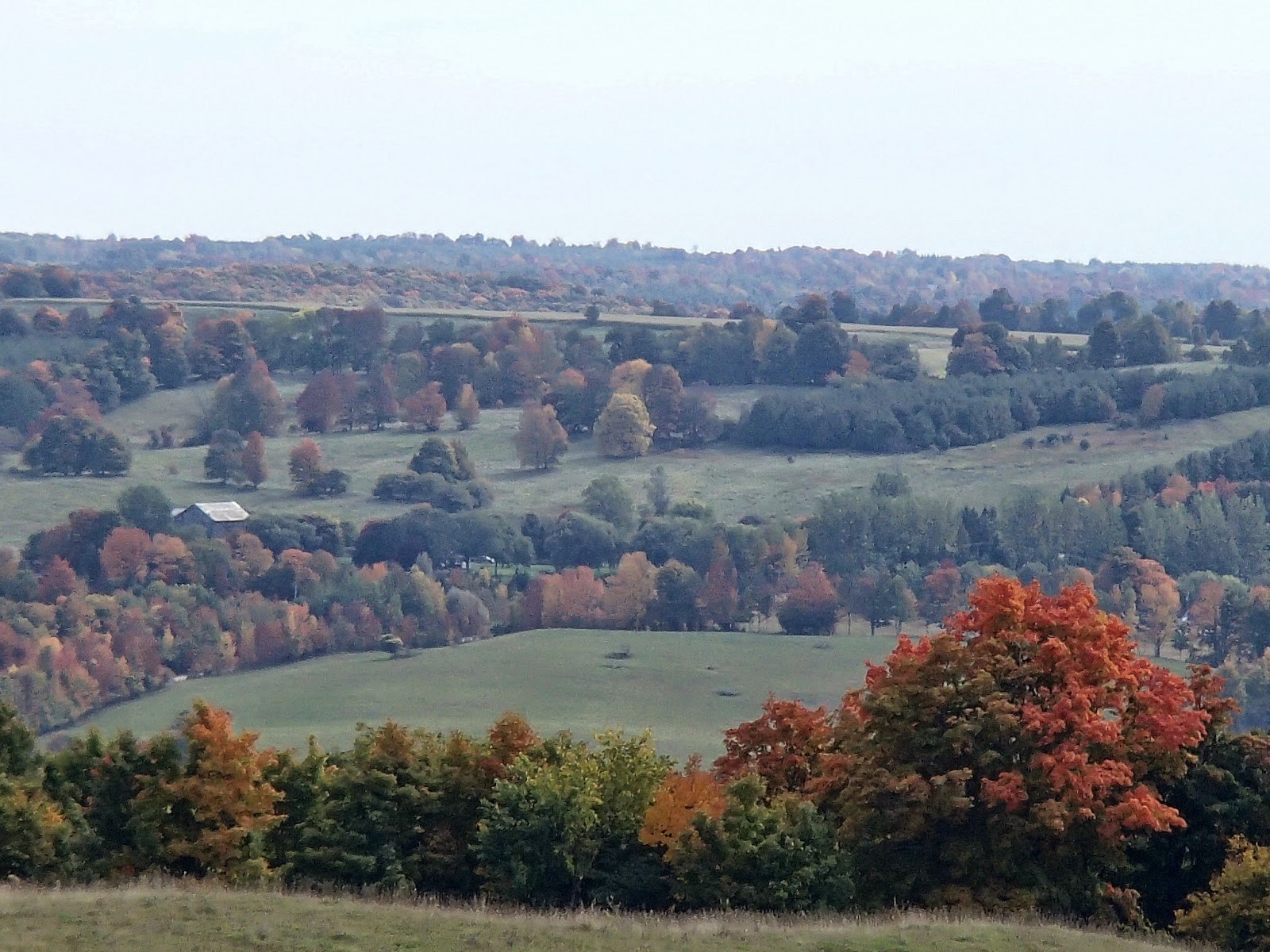
I travelled through Lavender and just west of Centre Road, the trail headed north along a gravel road. I skipped just east of the trail at the 1km mark and met my wife who picked me up - we travelled back to our B&B in Creemore.This was a beautiful shot from the car as we were driving back down the escarpment towards Creemore.

We stayed the night at the Angel House B&B. It was a beautiful old house and the accommodations, service and food was very good - thank you Pat! You can see more details about this B&B at www.angelhouse.ca
Creemore was also a nice surprise - a very beautiful and quaint town with many small shops, boutiques and restaurants. Creemore was settled in the early 1840's as a mill town - a saw mill was built on the Mad River. By the late 1800's the population was over 800. It is also said that Canada's first Prime Minister, Sir John A. MacDonald, owned property in the area of Creemore. It is also home to the Creemore Springs Brewery - we went for a beer tasting at the brewery and picked up some 6-packs the next day for presents. Here are some shots of Creemore.


Sunday, I picked up where I left off, at the 1km mark of the Blue Mountain section. The trail headed through woods and meadows and eventually came out around the 2km mark at the edge of the escarpment on the south side of the Noisy River Provincial Nature Reserve. Through this section it was fairly dark in amongst the cedar trees along the edge of the escarpment - there were many crevasses (some dark and deep enough I couldn't see the bottom) and outlier rock formation.


Incredible views looking north to the escarpment on the north side of the valley.


Eventually the trail descended past a pond with many Canada Geese to the un-maintained Concession 10 South, then back into the woods and again descended steeply down to the Noisy River and bridge.


After crossing the bridge the trail ascended very steeply up to the 6.2km mark at Highway 9. The trails then turned east along the highway for 600 meters with some nice views.


At the 6.8km mark the trail headed north along Concession 10 South.


The trail turned west along 6.7 Sideroad for a few hundred meters and just a head of me as I hiked this section, I saw a large group of wild turkeys crossing the road!

The trail headed north into the woods at the 9.1km mark on a section of the trail named and dedicated to June and George Willis and then eventually came back out onto Concession 10 South. Here are some shots from this section including a chipmunk waiting for me on the style, looking for handouts!


The trail headed northeast and then generally north along the edge of meadows and into woods on the escarpment edge. There were very nice vistas looking east off the escarpment.


At about the 14.5km mark of the trail, just before it turned and went west through a field, it hit the edge of the escarpment looking north and northeast with incredible views.


My hike finished at the 15.7km mark where the trail met Concession 10 South. My wife met and picked me up.
As an aside to this weekend hike, after the hike Sunday we went on a short side trip in the car. My father was born in Nottawasaga Township and lived for early parts of his life in Glen Huron and Singhampton, both small villages in the local area. We drove through Glen Huron (which the Bruce Trail comes close to on the next section of hike) and then to Singhampton. We found the local cemetery and saw the gravestones of my grandfather and grandmother. That was very special!
Another wonderful weekend of hiking!
Completed: 393.9km