Hike 23 was going to be a long hike - one of the longest I had done. I parked my car at the corner of Escarpment Road and Airport Road at the 30.6km mark of the trail and then arranged for a taxi to give me a lift back to my starting point, the 12.6km mark of the trail at Cataract in the Forks of Credit Provincial Park.
The trail first crossed the Credit River above the falls and steeply climbed up to the eastern rim of the Credit River valley. The following pictures are from this part of the hike.
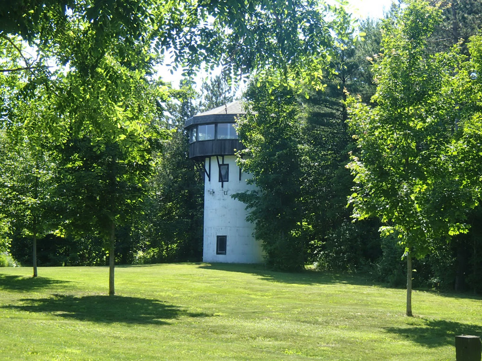
Just past the 15.7km mark the trail met Puckering Lane, a picturesque laneway with some nice properties and houses.
At the 16.8km mark the trail crossed McLaren Road and entered the woods heading north east. In this section of the trail there was a bridge crossing a small creek and this sign - very interesting!
At the 18.3km mark, the trail met Willoughby Road and crossed to the north side and back into a beautiful property hugging the escarpment. The property owner had done a very nice job of cutting and trimming the pathways through this section.
At one point in this section I was walking along admiring the beautiful woods and path only to hear a loud scraping noise of metal on metal - I literally jumped and didn't know what is was. I turned and looked and in front of me was an old windmill totally covered in vines (which is why I didn't see it initially) and it was turning in the wind causing the scrapping sound.
Further along Escarpment Road, just before Highway 10, there was a fancy entrance to a property and then the tunnel under Highway 10.
Once under Highway 10, the trail continued to follow Escarpment Road past the Devil's Pulpit Golf Course. This golf course was built by Chris Haney and Scott Abbot who in 1979 invented the Trivial Pursuit board game. By 2010 Trivial Pursuit sales were in excess of $1 billion since it's inception. I'm assuming some of those funds helped build this beautiful golf course.
The trail headed into the woods and climbed through beautiful evergreen woods into a meadow to a high knoll that had incredible views of the surrounding area. Here are some pictures from that part of the trail.
At the 21.8km mark the trail continued to follow along Escarpment Road past some very stunning and interesting farms and properties.
At about the 23.5km mark the trail maps mentioned that the trail and Escarpment Road crossed over the old rail bed of the Toronto, Grey and Bruce Railway. The following picture shows the old trail bed grown over.
Doing some research when I got home, I found that the Toronto, Grey and Bruce Railway began operation in the late 1800's. It was designed and built as a narrow gauge railway and one of the challenges was getting the trains up and down the escarpment at this point. Just south of this previous picture, the tracks descended the escarpment and made turns in a double horseshoe shape. The 2% gradient to the tracks was steep and the horseshoe turns in the tracks had a 500 foot radius, which was pretty tight. In early September 1907, the train heading from Markdale to Toronto, taking 600 passengers to the Toronto Exhibition, came down the escarpment and through these horseshoe turns too quickly and wrecked killing 7 and injuring 114. It was known as The Horseshoe Train Wreck.
At one point walking along Escarpment Road I saw this following scene at my feet near the edge of the road - I thought this would make a very interesting picture!
At the 25.9km mark the trail turned north on St. Andrew's Road past the St. Andrew's Stone Church and Cemetery. A local Presbyterian congregation met as far as back 1820 in a local barn. In 1853 the Stone Church was built.
The trail headed east through fields and some woods where the following pictures were taken.
The trail then went south and met the Escarpment Road again at the 28.4km mark and then generally followed the road through to where it met Airport Road at the 30.6km mark which is where my very long hike ended.
Completed: 281.8km
Hike 22 on the Bruce Trail was on Father's Day 2014. My younger son joined me for the hike.
Again, a very beautiful day. We drove to the Spirit Tree Cidery on Boston Mills Road at the 48km mark on the Toronto section of the trail and headed out east along Boston Mills Road. The trail then followed Creditview Road north to the 49.5km mark which ended the Toronto section of the trail.
At the 0km mark of the Caledon section, the trail headed east into the woods near the Cheltenham Badlands. We hiked through some nice rolling hills, in fields and woods but passed south of the Badlands, so didn't get to see them, which was disappointing. At the time, we should have taken a side trail to go see them. In the end, after our hike was done and we came back to pick up the car, we drove over by the Badlands to se them. Here is a picture - not a huge area but very interesting geography!
We walked east along Olde Baseline Road until the trail headed north along Chinguacousy Road, which started as a road up the escarpment but ended at the 2.5km mark where it became a trail into the woods.
At one point thee was a memorial wreath for someone who I presume had an accident or died in the area?
We continued north for about 3.5km and at the 5.2km mark the trail met The Grange Sideroad. As we walked along the sideroad, there were some spectacular properties and houses (or mansions!) along with some very picturesque horse farms.
At the 6.5km mark, the trail headed northwest into the woods towards the escarpment edge and the Forks of the Credit area. The trail came out on the edge of the escarpment around an area known as the Devil's Pulpit, named as such as the rocky, sheer 100 meter cliff edge juts out over the surrounding Credit River valley area. Here are some pictures from this area including the descent down (a pretty technical descent) the escarpment to the Credit River and the Forks of the Credit area.
The Credit River, which is formed at the Forks of he Credit area by the East and West branches of the Credit River, is 1500km in length including tributaries. The river was named "Missinnihe" or "Trusting Creek" by the First Nations of the area as it was a meeting point with traders.
Following is a picture looking back up from the valley to the Devil's Pulpit area of the escarpment and the spectacular railway bridge across the valley at the Forks of the Credit.
From here we hiked northwest again along Dominion Street, which had many beautiful homes along the Credit River, to the 10km mark where we entered the Forks of the Credit Provincial Park. The Provincial Park is a day use park only but has an incredible trail system that traverses the valley floor along the beautiful Credit River and the surrounding escarpment cliffs.
As we followed the trail north along the Credit River valley, we started to ascend the valley up the escarpment to an area around the 14km mark called Cataract. The town of Cataract in the 19th century was a very bustling town that grew based on 3 large limestone quarries in the area. Over 400 workers worked in the quarries at their peak and the stone from the quarry is found today in the buildings at Queens Park, Toronto's Old City Hall and University of Toronto. At Cataract, the Credit River flows over the edge of the escarpment with a large waterfall where you can also see an old hydro electricity station. The following pictures are from this section of the trail.
We finished at the 12.6km mark where we met my wife who picked us up. We travelled to the local town of Erin and had a Father's Day lunch, after which we headed back to the car at the start of this day's hike.
Another beautiful day and hike!
Completed: 263.8km